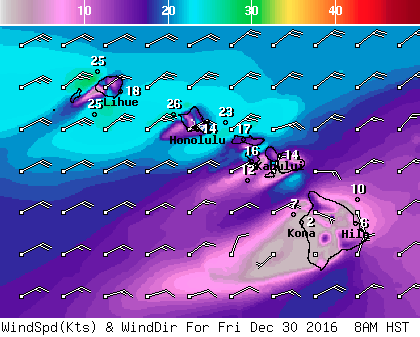
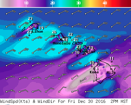
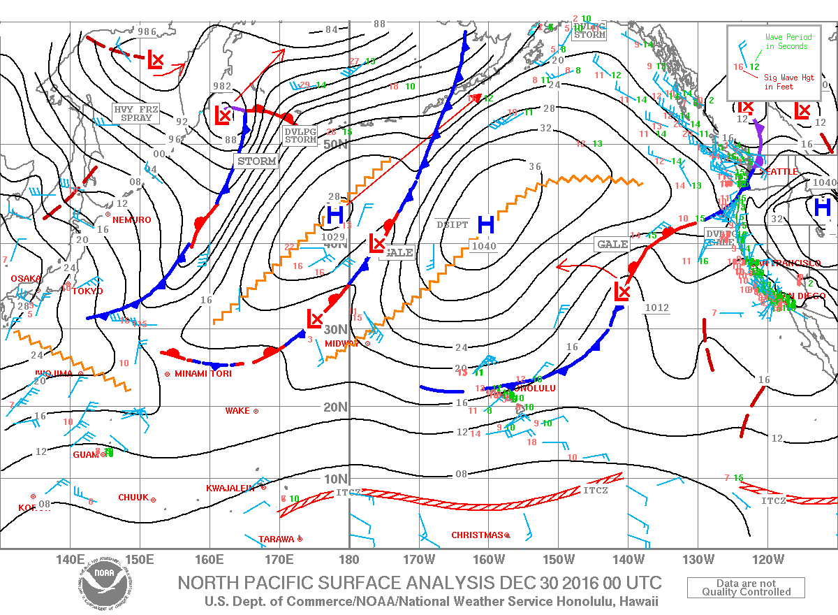
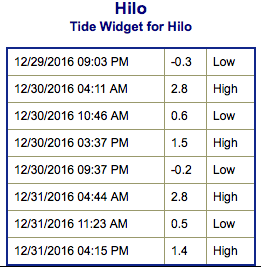
**Click directly on the images below to make them larger. Charts include: Big Island projected winds, tides, swell direction & period and expected wave heights.**
+
SWIPE LEFT OR RIGHT
ARTICLE CONTINUES BELOW AD
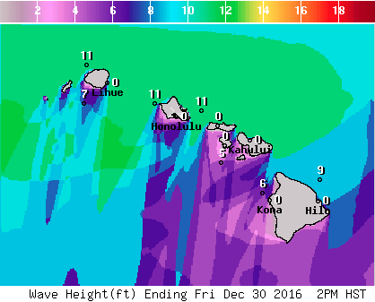
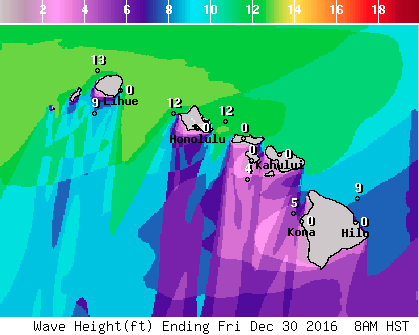
Big Island Surf Forecast
Hilo side: Wave heights are forecast to be shoulder/head high to overhead today for the best breaks.
Kona side: Wave heights are expected to be knee/thigh high today. Spots catching the northwest getting up to ankle/waist high on the sets.
ARTICLE CONTINUES BELOW AD
South: Wave heights are expected to be down to leftovers today and below waist high. Spots catching the northwest getting up to ankle/waist high on the sets.
Small south-southwest lingering over the next few days. Nothing significant is expected out of the SPAC in the near future although a small south swell is forecast for the 31st and 1st with another little bump on the horizon for the 4th.
A north reinforcement is expected Sunday afternoon and will fade out through the early part of the week. A west-northwest is forecast to filter in Tuesday with another new northwest on its heels for Wednesday.
Keep in mind, surf heights are measured on the face of the wave from trough to crest. Heights vary from beach to beach, and at the same beach, from break to break.
This comments section is a public community forum for the purpose of free expression. Although Big Island Now encourages respectful communication only, some content may be considered offensive. Please view at your own discretion. View Comments


 Big Island Surf Forecast
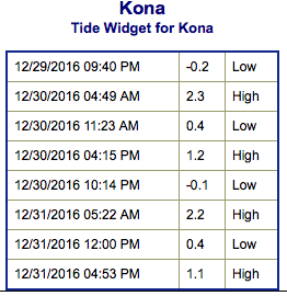 Small south-southwest lingering over the next few days. Nothing significant is expected out of the SPAC in the near future although a small south swell is forecast for the 31st and 1st with another little bump on the horizon for the 4th.