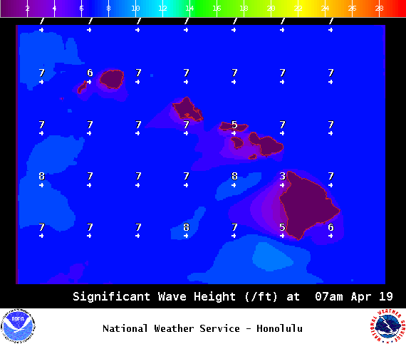
A Small Craft Advisory is posted for Big Island southeast waters and the Alenuihaha Channel through 6 p.m. Tuesday and could be extended if conditions persist.
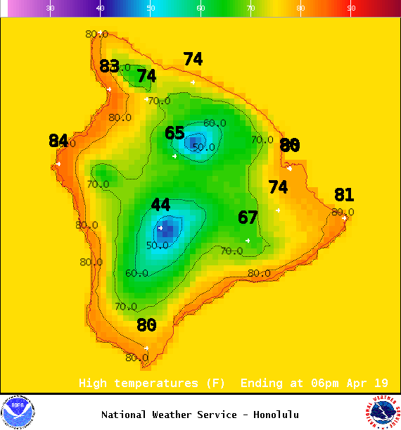
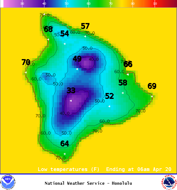
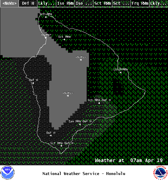
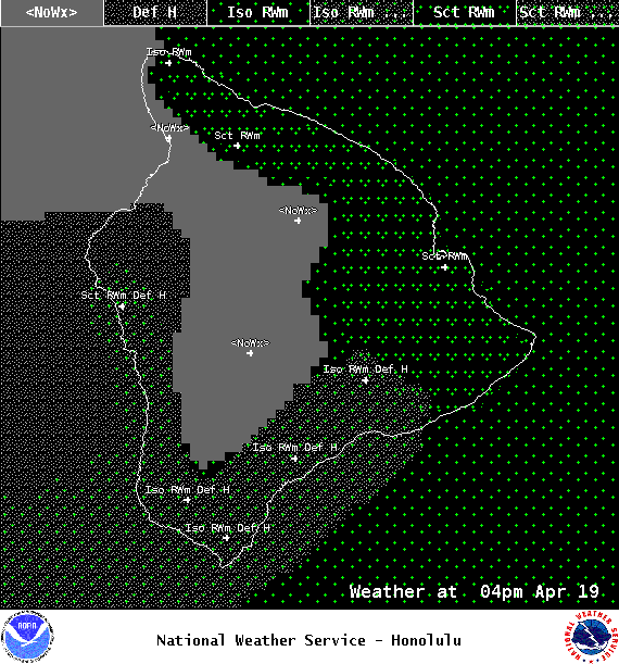
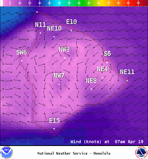
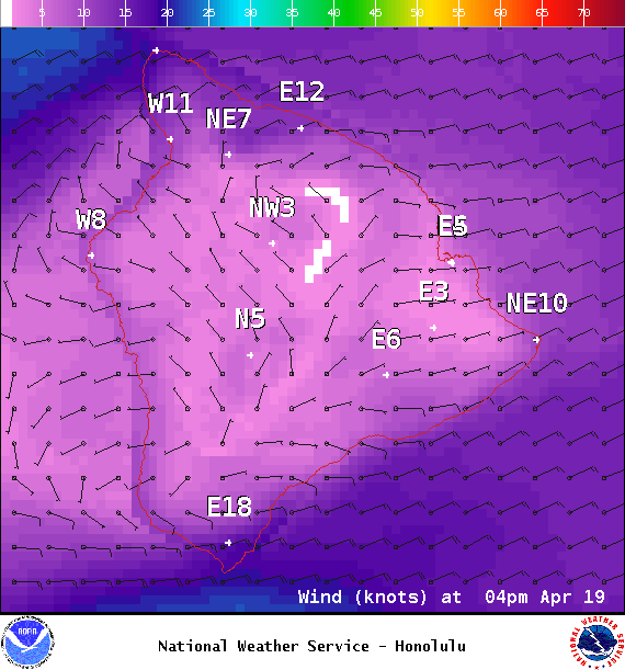
**Click directly on the images below to make them larger. Charts include: Big Island high/low forecasted temperatures, projected winds, chance of cloud cover, projected localized weather conditions, vog/SO2 forecast and expected wave heights.**
+
SWIPE LEFT OR RIGHT
ARTICLE CONTINUES BELOW AD
ARTICLE CONTINUES BELOW AD
Looking Ahead
Moderate trade winds are expected Tuesday through Friday. As the front moves south and dissipates on Tuesday, a typical trade wind weather pattern is expected for the remainder of the week, with clouds and brief showers favoring windward slopes and coasts, mainly during nights and mornings. Trade winds may become light next weekend.
ARTICLE CONTINUES BELOW AD
Today
Today we expect partly cloudy skies with scattered windward showers in the morning. The Kona side will be partly sunny with isolated showers in the afternoon as clouds build. Hazy areas are expected. Northeast winds are forecast from 10 to 20 mph. High temperatures from 79° to 84°.
UV index at 11 (“extreme” exposure level)
ARTICLE CONTINUES BELOW AD
Tonight
Northeast winds are expected around 15 mph. Partly cloudy skies are forecast with scattered windward showers. For the Kona side mostly cloudy to start with clearing skies as the night goes on. Low temperatures from 66° to 71°.
This comments section is a public community forum for the purpose of free expression. Although Big Island Now encourages respectful communication only, some content may be considered offensive. Please view at your own discretion. View Comments