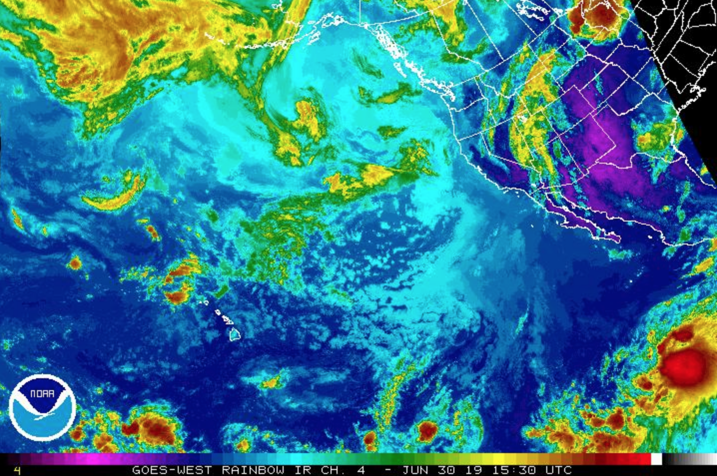
June 30, 2019, 5 p.m., Tropical Storm Barbara. PC: NOAA
UPDATE 2: 5 PM,Sunday, June 30, 2019: NWS National Hurricane Center Miami FL
BARBARA CONTINUES TO STRENGTHEN WHILE MOVING QUICKLY WESTWARD; EXPECTED TO BECOME A HURRICANE BY MONDAY NIGHT
Tropical Storm Barbara has continued to strengthen despite modest NW mid-level vertical wind shear that has been undercutting a rapidly improving upper-level outflow pattern. The new, official intensity forecast is a little more robust than the previous advisory.
At 5 p.m., the center of Tropical Storm Barbara was located near latitude 11.0°N, longitude 114.2°W.
Barbara is moving toward the west near 22 mph and this general motion is expected to continue with some decrease in forward speed during the next couple of days.
ARTICLE CONTINUES BELOW AD
ARTICLE CONTINUES BELOW AD
Maximum sustained winds have increased to near 50 mph with higher gusts. Additional strengthening is forecast during the next 48 hours and Barbara is forecast to become a hurricane by Monday night or Tuesday morning.
Tropical-storm-force winds extend outward up to 90 miles from the center.
The estimated minimum central pressure is 29.53 inches.
SUMMARY
LOCATION…11.0N 114.2W
ABOUT 870 MILES SSW OF THE SOUTHERN TIP OF BAJA CALIFORNIA
MAXIMUM SUSTAINED WINDS: 50 MPH
PRESENT MOVEMENT: W OR 275 DEGREES AT 22 MPH
MINIMUM CENTRAL PRESSURE: 29.53 INCHES
ARTICLE CONTINUES BELOW AD
WATCHES AND WARNINGS
There are no coastal watches or warnings in effect.
HAZARDS AFFECTING LAND
None.
NEXT ADVISORY
Next complete advisory at 11 PM HST.
UPDATE 1: 11 AM HST, Sunday, June 30, 2019: NWS National Hurricane Center Miami FL
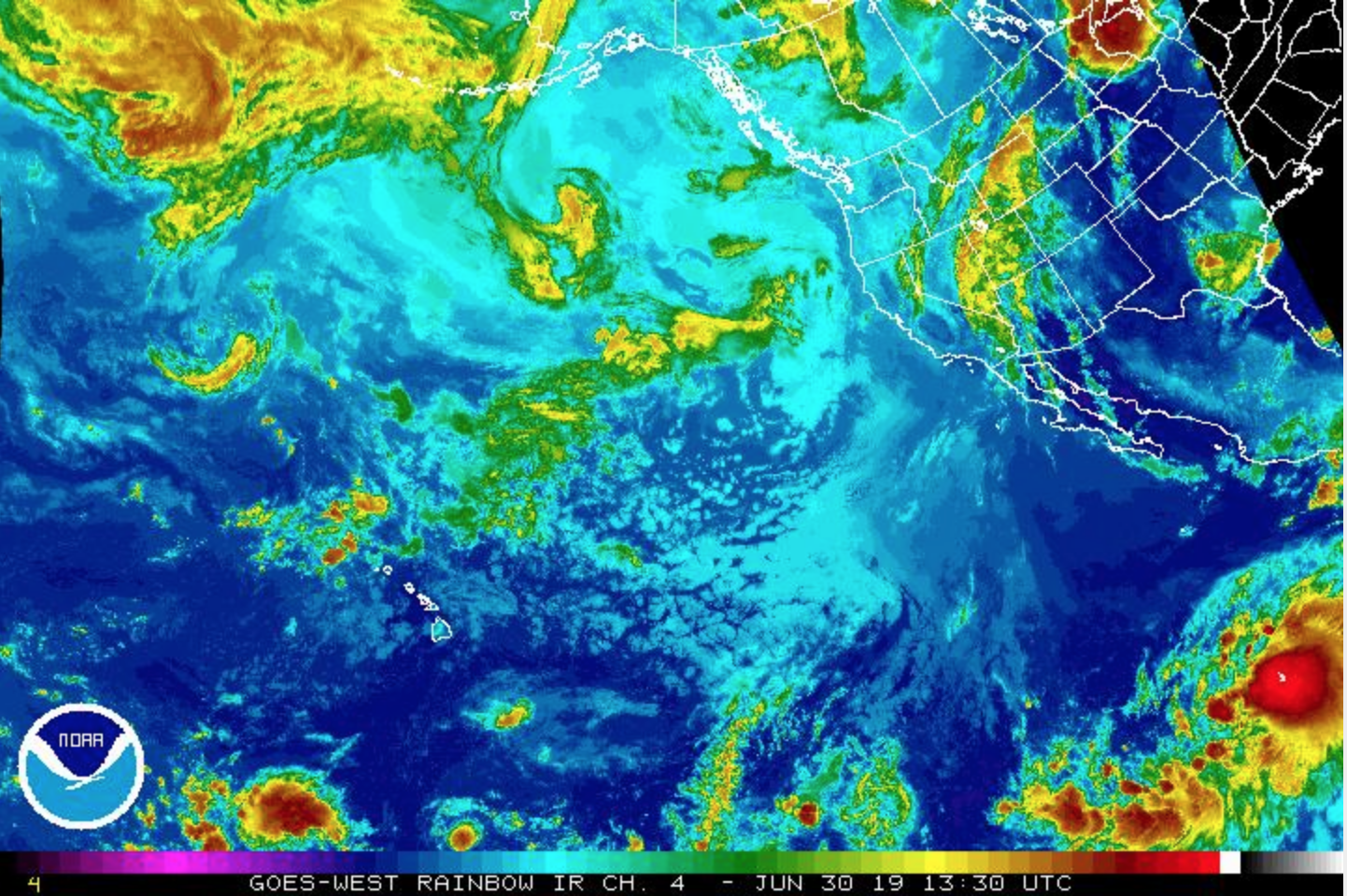
June 30, 2019, 11 a.m., Tropical Storm Barbara. PC: NOAA
BARBARA MOVING WESTWARD AND STRENGTHENS
ARTICLE CONTINUES BELOW AD
DISCUSSION AND OUTLOOK
At 11 a.m., the center of Tropical Storm Barbara was located near latitude 10.9°N, longitude 112.2°W.
Barbara is moving toward the west near 18 mph and this general motion is expected to continue with some decrease in forward speed during the next couple of days.
The cloud pattern of Barbara is slowly becoming better organized with a curved convective band now forming in the SE semicircle.
Recent satellite wind data indicate that maximum sustained winds have increased to near 45 mph with higher gusts.
Additional strengthening is forecast during the next 48 hours,and Barbara is forecast to become a hurricane by Tuesday.
Tropical-storm-force winds extend outward up to 90 miles from the center.
The estimated minimum central pressure is 29.62 inches.
SUMMARY
LOCATION…10.9N 112.2W
ABOUT 840 MI…1355 KM S OF THE SOUTHERN TIP OF BAJA CALIFORNIA
MAXIMUM SUSTAINED WINDS…45 MPH…75 KM/H
PRESENT MOVEMENT…W OR 280 DEGREES AT 18 MPH…30 KM/H
MINIMUM CENTRAL PRESSURE…1003 MB…29.62 INCHES
WATCHES AND WARNINGS
There are no coastal watches or warnings in effect.
HAZARDS AFFECTING LAND
None.
NEXT ADVISORY
Next complete advisory at 5 PM HST.
June 30, 2019, 3:30 a.m., Tropical Storm Barbara. PC: NOAA
2 AM HST, Sunday, June 30, 2019: National Weather Service, Honolulu
No tropical cyclones are expected during the next 5 days for the central North Pacific between 140°W and 180°W.
5 AM HST ORIGINAL POST: Sunday June 30, 2019, NWS National Hurricane Center Miami FL EP022019
Tropical Storm Barbara Advisory Number 1
TROPICAL STORM BARBARA FORMS OVER THE EASTERN PACIFIC
DISCUSSION AND OUTLOOK
At 5 a.m., the center of Tropical Storm Barbara was located near latitude 10.6°N, longitude 110.4° W.
Barbara is moving toward the WNW near 16 mph and this general motion is expected to continue over the next several days with a gradual decrease in forward speed.
Maximum sustained winds are near 40 mph with higher gusts.
Steady strengthening is forecast and Barbara is expected to become a hurricane by Tuesday.
Tropical-storm-force winds extend outward up to 80 miles (130 km)
from the center.
The estimated minimum central pressure is 1006 mb (29.71 inches).
SUMMARY
LOCATION…10.6°N 110.4°W
ABOUT 850 MILES S OF THE SOUTHERN TIP OF BAJA CALIFORNIA
MAXIMUM SUSTAINED WINDS: 40 MPH
PRESENT MOVEMENT: WNW OR 285 DEGREES AT 16 MPH
MINIMUM CENTRAL PRESSURE: 29.71 INCHES
WATCHES AND WARNINGS
There are no coastal watches or warnings in effect.
HAZARDS AFFECTING LAND
None
NEXT ADVISORY
Next complete advisory at 11 AM HST.
DETAILS
Satellite imagery indicates that the area of low pressure and associated convection located several hundred miles SW of southern Mexico has become better organized, with the center embedded in the northern side of a large area of deep convection.
In addition, earlier radar data revealed that 35-knot winds existed in the eastern semicircle of the developing cyclone.
This intensity is in agreement with the latest subjective satellite estimate from TAFB and thus advisories are started on Tropical Storm Barbara, the second named storm of the Eastern Pacific hurricane season.
Barbara’s initial motion is 285/14 knots.
A mid-level ridge to the N of the cyclone will steer it to the WNW for the next several days.
Later on in the forecast period, Barbara will approach the southwestern periphery of the ridge which should induce some slowing of the forward motion. The NHC track forecast lies in the middle of a suite of guidance that is tightly clustered through 96 hours and begins to diverge slightly beyond that time frame.
The overall satellite presentation of Barbara suggests that there is some shear affecting the convection over the northern part of the cyclone. Statistical guidance concurs with this and indicates
10 to 15 knots of northwesterly shear currently over the circulation.
This shear is forecast by the guidance to begin to abate in about 24 hours. Otherwise, Barbara is expected to be in a favorable environment for intensification and over warm waters for the next four to five days. The official forecast takes into account this initial shear during the early inner-core development stages of Barbara, and calls for a slow and steady strengthening through 24 hours.
Thereafter, the lower-shear environment and likely consolidating inner-core should allow for a faster rate of intensification. The official forecast intensity is close to the dynamical guidance through 72 hours, and is near the upper edge of the guidance beyond 72 hours, bringing Barbara to category 2 intensity by 72 hours.
After 96 hours, Barbara will be approaching a tight gradient in SSTs to its N. Also, both dynamical and statistical guidance indicate that the cyclone will be approaching a region with increasing southwesterly shear. Both of these factors should contribute to a gradual weakening after 96 hours.
This comments section is a public community forum for the purpose of free expression. Although Big Island Now encourages respectful communication only, some content may be considered offensive. Please view at your own discretion. View Comments