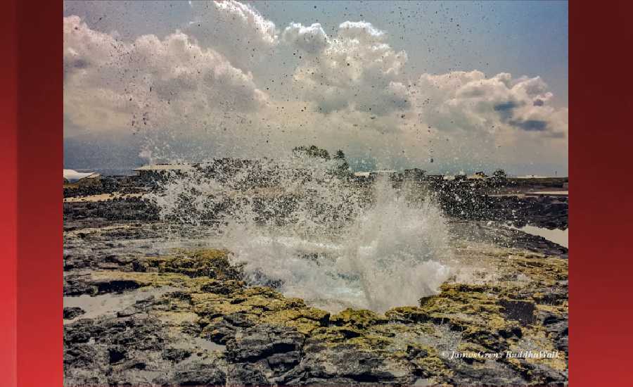
Outlook through Wednesday February 13: Rough conditions are expected along north facing shores Thursday night through the weekend due to a combination of strong north-northwest winds, a large west-northwest swell and a large short-period northerly swell from a nearby gale expected to develop to the north. Surf will exceed warning levels for north and west facing shores Friday, then remain above warning levels into the weekend. A long-period northeast swell will gradually lower Friday into the weekend.
Surf heights are forecast heights of the face, or front, of waves. The surf forecast is based on the significant wave height, the average height of the one third largest waves, at the locations of the largest breakers. Some waves may be more than twice as high as the significant wave height. Expect to encounter rip currents in or near any surf zone.
North East
ampm
ARTICLE CONTINUES BELOW AD
ARTICLE CONTINUES BELOW AD
Surf: Chest to head high mix of NE medium period swell and NW long period swell
Conditions: Semi clean/textured in the morning with S winds 5-10mph. Semi choppy conditions for the afternoon with the winds shifting to the ESE.
North West
ampm
Surf: Chest to shoulder high WNW long period swell.
ARTICLE CONTINUES BELOW AD
Conditions: Clean in the morning with ESE winds 5-10mph. Bumpy/semi bumpy conditions for the afternoon with the winds shifting to the NW.
West
ampm
Surf: Shoulder to head high WNW long period swell with occasional 1-2′ overhead high sets.
Conditions: Clean in the morning with ENE winds 5-10mph. Semi glassy/semi bumpy conditions for the afternoon with the winds shifting to the WSW.
ARTICLE CONTINUES BELOW AD
South East
ampm
Surf: Knee to waist high ENE wind swell.
Conditions: Semi choppy with SSW winds 5-10mph in the morning shifting S 10-15mph in the afternoon.
Image: NOAA
Image: NOAA
Image: NOAA
Image: NOAA
Image: NOAA
Image: NOAA
**Click directly on the images below to make them larger. Charts include: Hawaii County projected winds, tides, swell direction & period and expected wave heights.**
This comments section is a public community forum for the purpose of free expression. Although Big Island Now encourages respectful communication only, some content may be considered offensive. Please view at your own discretion. View Comments