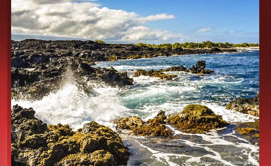
Outlook through Tuesday December 18: A new long-period northwest swell will arrive today, build tonight, then peak on Wednesday near advisory levels for north and west facing shores. This swell will slowly fade through the end of the work week, keeping surf elevated along north and west facing shores. A small reinforcement is expected on Friday out of the northwest. A new and larger northwest swell will likely bring advisory and possibly warning level surf to north and west facing shores late this weekend. Rough and choppy surf will persist along east facing shores for most of the week, gradually diminishing over the weekend.
Surf heights are forecast heights of the face, or front, of waves. The surf forecast is based on the significant wave height, the average height of the one third largest waves, at the locations of the largest breakers. Some waves may be more than twice as high as the significant wave height. Expect to encounter rip currents in or near any surf zone.
North East
ampm
ARTICLE CONTINUES BELOW AD
ARTICLE CONTINUES BELOW AD
Surf: Chest to shoulder high mix of NE wind swell and NNW ground swell for the morning. The surf builds from the NE into the head high range for the afternoon.
Conditions: Semi glassy in the morning with SE winds less than 5mph. Sideshore texture/chop conditions for the afternoon as the winds increase to 10-15mph.
North West
ampm
Surf: Ankle to knee high NNE wind swell.
ARTICLE CONTINUES BELOW AD
Conditions: Clean in the early morning with SE winds less than 5mph. Semi choppy conditions move in during the morning hours with the winds shifting WSW 5-10mph.
West
ampm
Surf: Ankle to knee high NW ground swell.
Conditions: Glassy in the morning with ESE winds less than 5mph. Semi glassy/semi bumpy conditions for the afternoon with the winds shifting SW 5-10mph.
ARTICLE CONTINUES BELOW AD
South East
ampm
Surf: Head high E medium period swell.
Conditions: Semi clean/textured in the morning with N winds 5-10mph. Sideshore texture/chop conditions for the afternoon with the winds shifting NNE 10-15mph.
Image: NOAA
Image: NOAA
Image: NOAA
Image: NOAA
Image: NOAA
**Click directly on the images below to make them larger. Charts include: Hawaii County projected winds, tides, swell direction & period and expected wave heights.**
This comments section is a public community forum for the purpose of free expression. Although Big Island Now encourages respectful communication only, some content may be considered offensive. Please view at your own discretion. View Comments