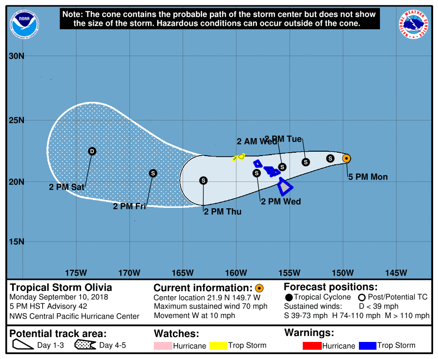
The National Weather Service Central Pacific Hurricane Center in Honolulu issued an update at 5 p.m. on Monday, Sept. 10, 2018.
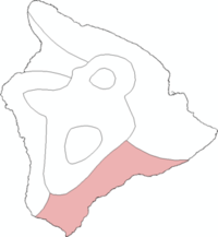
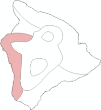
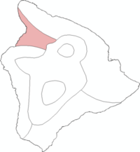
A Tropical Storm Warning is in now in effect Hawai‘i County, Maui County and O‘ahu.
A Tropical Storm Watch has been issued for Kaua‘i and Ni‘ihau.
At 5 p.m., the center of Tropical Storm Olivia was located near latitude 21.9 north, longitude 149.7 west, about 380 miles ENE of Hilo.
Olivia is moving toward the west near 10 mph. A continued west to WSW motion is expected for the next few days. On the forecast track, Olivia will be moving over the main Hawaiian Islands late Tuesday night into Wednesday.
ARTICLE CONTINUES BELOW AD
ARTICLE CONTINUES BELOW AD
Maximum sustained winds are near 70 mph with higher gusts. Gradual weakening is forecast during the next 48 hours, but Olivia is expected to remain a tropical storm as it moves across the islands.
Tropical-storm-force winds extend outward up to 90 miles from the center.
POTENTIAL IMPACTS OVERVIEW
WIND: Tropical storm conditions are expected over Maui County and the Big Island starting late Tuesday or Tuesday night. Tropical storm conditions are expected over Oahu starting late Tuesday night or Wednesday morning. Tropical storm conditions are possible over Kaua‘i County starting Wednesday afternoon.
ARTICLE CONTINUES BELOW AD
RAINFALL: Olivia is expected to produce total rainfall accumulations of 10 to 15 inches. Isolated maximum amounts of 20 inches are possible, especially over windward sections of Maui County and the Big Island. This rainfall may produce life-threatening flash flooding.
SURF: Large swells generated by Olivia will spread from east to west across the Hawaiian Islands over the next couple of days. This will cause surf to build along exposed east facing shorelines as Olivia approaches. This surf may become damaging across parts of the state.
BELOW: HIGHLIGHTS FROM THE 5 PM NWS LOCAL AREA UPDATE
This comments section is a public community forum for the purpose of free expression. Although Big Island Now encourages respectful communication only, some content may be considered offensive. Please view at your own discretion. View Comments