The National Weather Service Hurricane Centers issued an update on hurricane activity on Aug. 31, 2018.
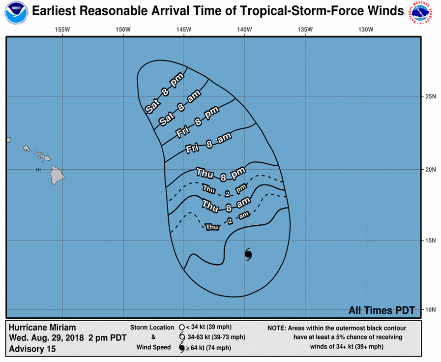
At 5 a.m., the NWS Central Pacific Hurricane Center in Honolulu reported that the center of Hurricane Miriam was located near latitude 18.3 north, longitude 141.2 west, 910 miles east of Hilo.
Miriam is moving toward the north near 10 mph. This general motion is expected to continue through tonight. A turn toward the northwest with an increase in forward speed is expected Saturday through
Sunday.
ARTICLE CONTINUES BELOW AD
ARTICLE CONTINUES BELOW AD
Maximum sustained winds are near 90 mph, with higher gusts. Rapid weakening is expected to begin later today and continue through Sunday.
Miriam is expected to become a post-tropical remnant low Sunday or Sunday night.
ARTICLE CONTINUES BELOW AD
Hurricane-force winds extend outward up to 25 miles (35 km) from the center and tropical-storm-force winds extend outward up to 105 miles.
Norman is still a Category 4 hurricane, according to a 5 a.m. report from the NWS National Hurricane Center in Miami, Florida.
The eye of Hurricane Norman was located near latitude 16.7 north, longitude 120.8 west, 825 miles WSW of the southern tip of Baja, California.
ARTICLE CONTINUES BELOW AD
Norman is moving toward the WSW at about 8 mph. A turn toward the west and WNW with an increase in forward speed is expected over the weekend and into next week.
Maximum sustained winds have decreased to near 130 mph, with higher gusts. Gradual weakening is forecast, but Norman is expected to remain a powerful hurricane through the early part of next week.
Hurricane-force winds extend outward up to 25 miles from the center and tropical-storm-force winds extend outward up to 90 miles.
This comments section is a public community forum for the purpose of free expression. Although Big Island Now encourages respectful communication only, some content may be considered offensive. Please view at your own discretion. View Comments