**Click directly on the images below to make them larger. Charts include: Hawaii Island high/low forecasted temperatures, projected winds, projected localized weather conditions and expected wave heights.**
+
SWIPE LEFT OR RIGHT
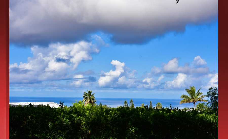
Looking Ahead
Updated for the latest advisory for Tropical Storm Lane issued at 11 am HST by the Central Pacific Hurricane Center. As Lane is beginning to pick up speed. Tropical Storm Watches and Warnings have been dropped for all islands. The Tropical Storm Warning remains in effect for coastal waters south of Kauai and Oahu, as well as the Kauai Channel.
Hilo
ARTICLE CONTINUES BELOW AD
ARTICLE CONTINUES BELOW AD
This Afternoon: Frequent showers and possibly a thunderstorm. Some of the storms could produce heavy rainfall. High near 87. East wind 6 to 9 mph. Chance of precipitation is 100%. New rainfall amounts between a tenth and quarter of an inch, except higher amounts possible in thunderstorms.
Tonight: Frequent showers and possibly a thunderstorm. Some of the storms could produce heavy rainfall. Low around 72. East northeast wind 3 to 8 mph. Chance of precipitation is 100%. New precipitation amounts between a quarter and half of an inch possible.
Sunday: Frequent showers. The rain could be heavy at times. High near 85. East wind 3 to 8 mph. Chance of precipitation is 90%. New precipitation amounts between 1 and 2 inches possible.
Kona
This Afternoon: Scattered showers and thunderstorms. Widespread haze. Partly sunny, with a high near 88. West northwest wind 3 to 6 mph. Chance of precipitation is 30%.
ARTICLE CONTINUES BELOW AD
Tonight: Scattered showers and thunderstorms. Widespread haze. Mostly cloudy, with a low around 76. Light and variable wind. Chance of precipitation is 30%.
Sunday: Scattered showers. Widespread haze. Partly sunny, with a high near 85. Light and variable wind. Chance of precipitation is 50%. New precipitation amounts between a tenth and quarter of an inch possible.
Waimea
This Afternoon: Scattered showers and thunderstorms. Some of the storms could produce heavy rainfall. Partly sunny, with a high near 77. Breezy, with a northeast wind around 15 mph, with gusts as high as 21 mph. Chance of precipitation is 50%. New rainfall amounts between a half and three quarters of an inch possible.
Tonight: Scattered showers and thunderstorms, then showers likely after midnight. Some of the storms could produce heavy rainfall. Mostly cloudy, with a low around 64. Breezy, with an east northeast wind 13 to 15 mph, with gusts as high as 21 mph. Chance of precipitation is 60%. New precipitation amounts of less than a tenth of an inch, except higher amounts possible in thunderstorms.
ARTICLE CONTINUES BELOW AD
Sunday: Showers likely, mainly after noon. The rain could be heavy at times. Partly sunny, with a high near 78. Breezy, with an east northeast wind 10 to 15 mph, with gusts as high as 21 mph. Chance of precipitation is 60%. New precipitation amounts of less than a tenth of an inch possible.
Kohala
This Afternoon: Showers likely and possibly a thunderstorm. Some of the storms could produce heavy rainfall. Mostly cloudy, with a high near 71. Breezy, with an east northeast wind 16 to 18 mph, with gusts as high as 25 mph. Chance of precipitation is 60%. New rainfall amounts between three quarters and one inch possible.
Tonight: Showers likely and possibly a thunderstorm, then frequent showers after midnight. Some of the storms could produce heavy rainfall. Low around 55. Breezy, with an east northeast wind 15 to 18 mph, with gusts as high as 25 mph. Chance of precipitation is 80%. New precipitation amounts between a tenth and quarter of an inch, except higher amounts possible in thunderstorms.
Sunday: Showers likely, mainly after noon. The rain could be heavy at times. Mostly cloudy, with a high near 71. Windy, with an east wind 17 to 22 mph increasing to 23 to 28 mph in the morning. Winds could gust as high as 40 mph. Chance of precipitation is 70%. New precipitation amounts of less than a tenth of an inch possible.
South Point
This Afternoon: Showers likely and possibly a thunderstorm. Some of the storms could produce heavy rainfall. Widespread haze. Mostly cloudy, with a high near 84. Windy, with an east wind 20 to 23 mph, with gusts as high as 30 mph. Chance of precipitation is 60%. New rainfall amounts between a half and three quarters of an inch possible.
Tonight: Showers likely and possibly a thunderstorm. Some of the storms could produce heavy rainfall. Widespread haze. Mostly cloudy, with a low around 75. Windy, with an east wind around 23 mph, with gusts as high as 30 mph. Chance of precipitation is 60%. New precipitation amounts between 1 and 2 inches possible.
Sunday: Showers likely, mainly before noon. The rain could be heavy at times. Widespread haze. Mostly cloudy, with a high near 83. Windy, with an east wind 22 to 24 mph, with gusts as high as 31 mph. Chance of precipitation is 70%. New precipitation amounts of less than a tenth of an inch possible.
Puna
This Afternoon: Frequent showers and possibly a thunderstorm. Some of the storms could produce heavy rainfall. Widespread haze. High near 83. East wind 6 to 9 mph. Chance of precipitation is 100%. New rainfall amounts between a tenth and quarter of an inch, except higher amounts possible in thunderstorms.
Tonight: Frequent showers and possibly a thunderstorm. Some of the storms could produce heavy rainfall. Widespread haze. Low around 68. East wind 5 to 8 mph. Chance of precipitation is 100%. New precipitation amounts between a quarter and half of an inch possible.
Sunday: Frequent showers. The rain could be heavy at times. Widespread haze. High near 82. East wind 6 to 8 mph. Chance of precipitation is 90%. New precipitation amounts between a quarter and half of an inch possible.
Waikoloa
This Afternoon: Scattered showers and thunderstorms. Sunny, with a high near 85. East northeast wind 6 to 13 mph. Chance of precipitation is 30%. New rainfall amounts of less than a tenth of an inch, except higher amounts possible in thunderstorms.
Tonight: Scattered showers and thunderstorms before midnight. Mostly clear, with a low around 75. East wind 6 to 8 mph. Chance of precipitation is 30%.
Sunday: Scattered showers, mainly after noon. Mostly sunny, with a high near 85. East wind 5 to 7 mph becoming calm in the afternoon. Chance of precipitation is 30%. New precipitation amounts between a quarter and half of an inch possible.
This comments section is a public community forum for the purpose of free expression. Although Big Island Now encourages respectful communication only, some content may be considered offensive. Please view at your own discretion. View Comments