

PHOTOS: Pohoiki May Be Gone Soon
The U.S. Geological Survey released these photos of the East Rift Zone on Thursday, July 19, 2018.
Numerous rockfalls have occurred within Halema‘uma‘u and along Kīlauea’s summit caldera walls today, stirring up existing ash deposits and rock dust, and creating sounds that, at times, could be heard from the northeast rim of the caldera.
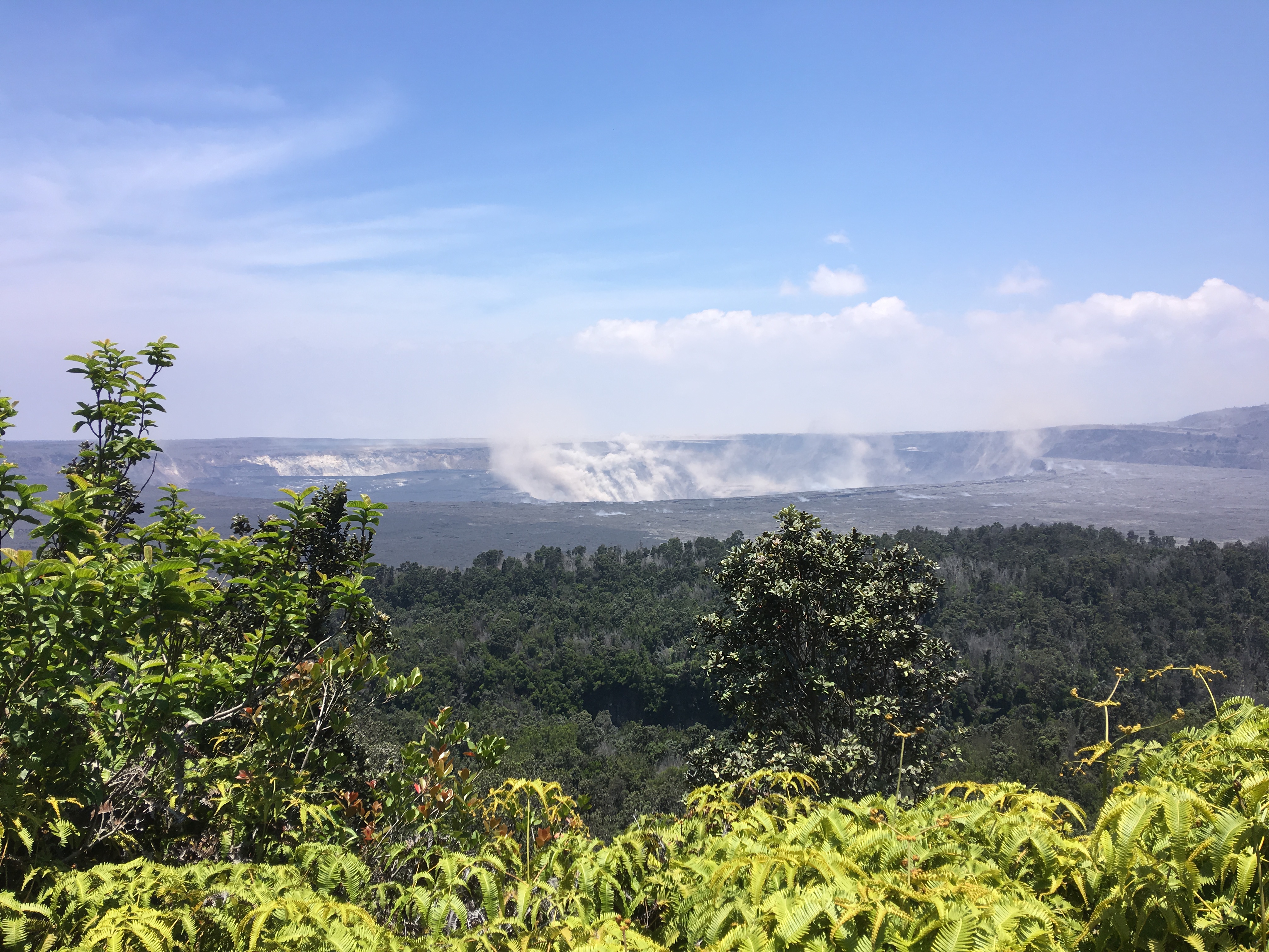
Kīlauea summit activity on July 19, 2018. Click to enlarge. PC: USGS
Kīlauea Lower East Rift Zone
This HVO geologist is standing on tephra (airborne lava fragments, such as Pele’s hair) that was erupted from and deposited downwind of the Fissure 8 vent.
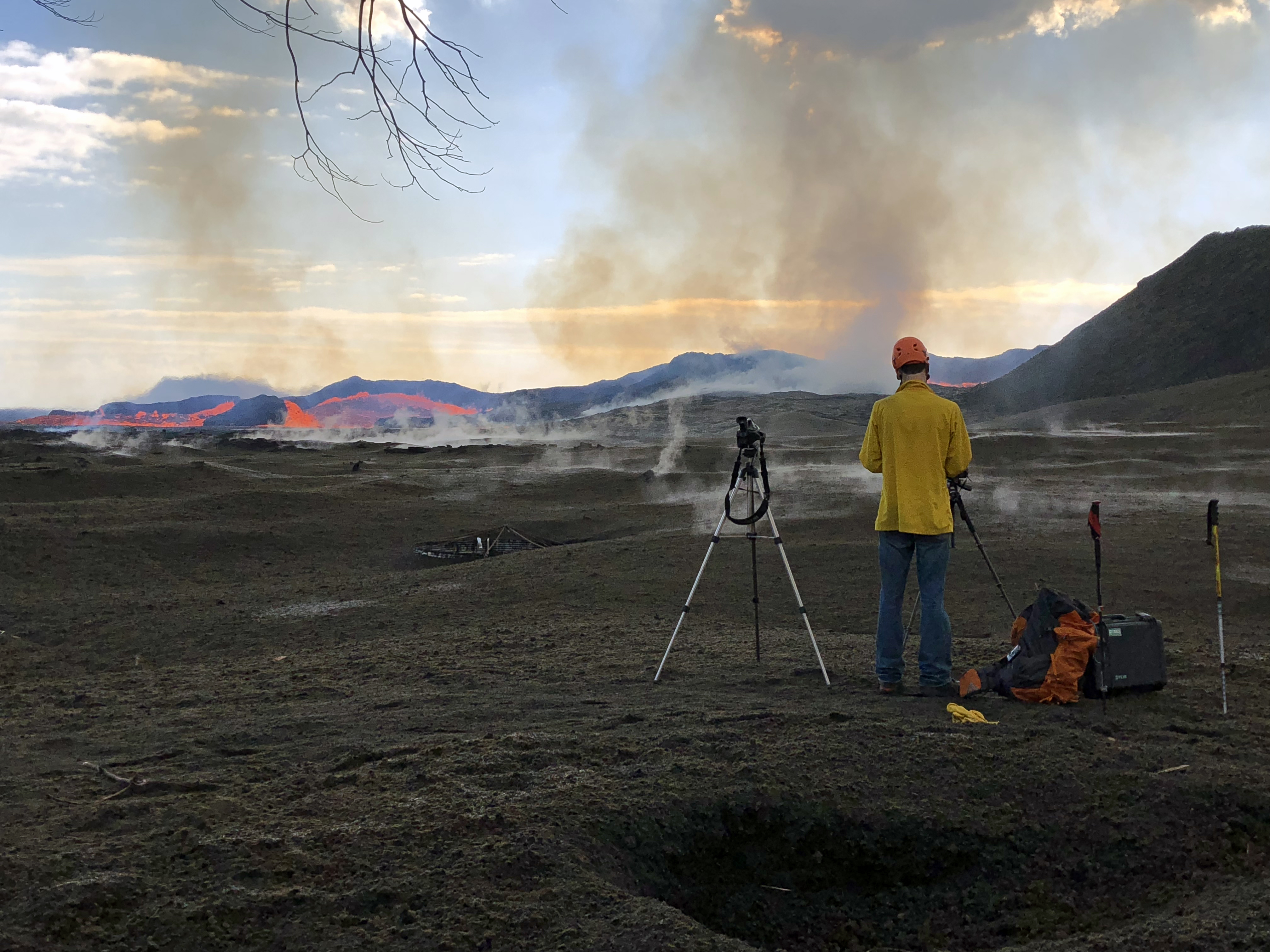
The frame of a water catchment tank cover can be seen in the tephra deposit to the left of the geologist’s camera and tripod (center). Click to enlarge. PC: USGS
He was there to observe the vent activity and to capture both thermal and video imagery of the pulsations occurring in the near-vent channel.
Volcanic gases rising from the Fissure 8 vent and lava channel feed a pyrocumulonimbus cloud above the tephra cone.
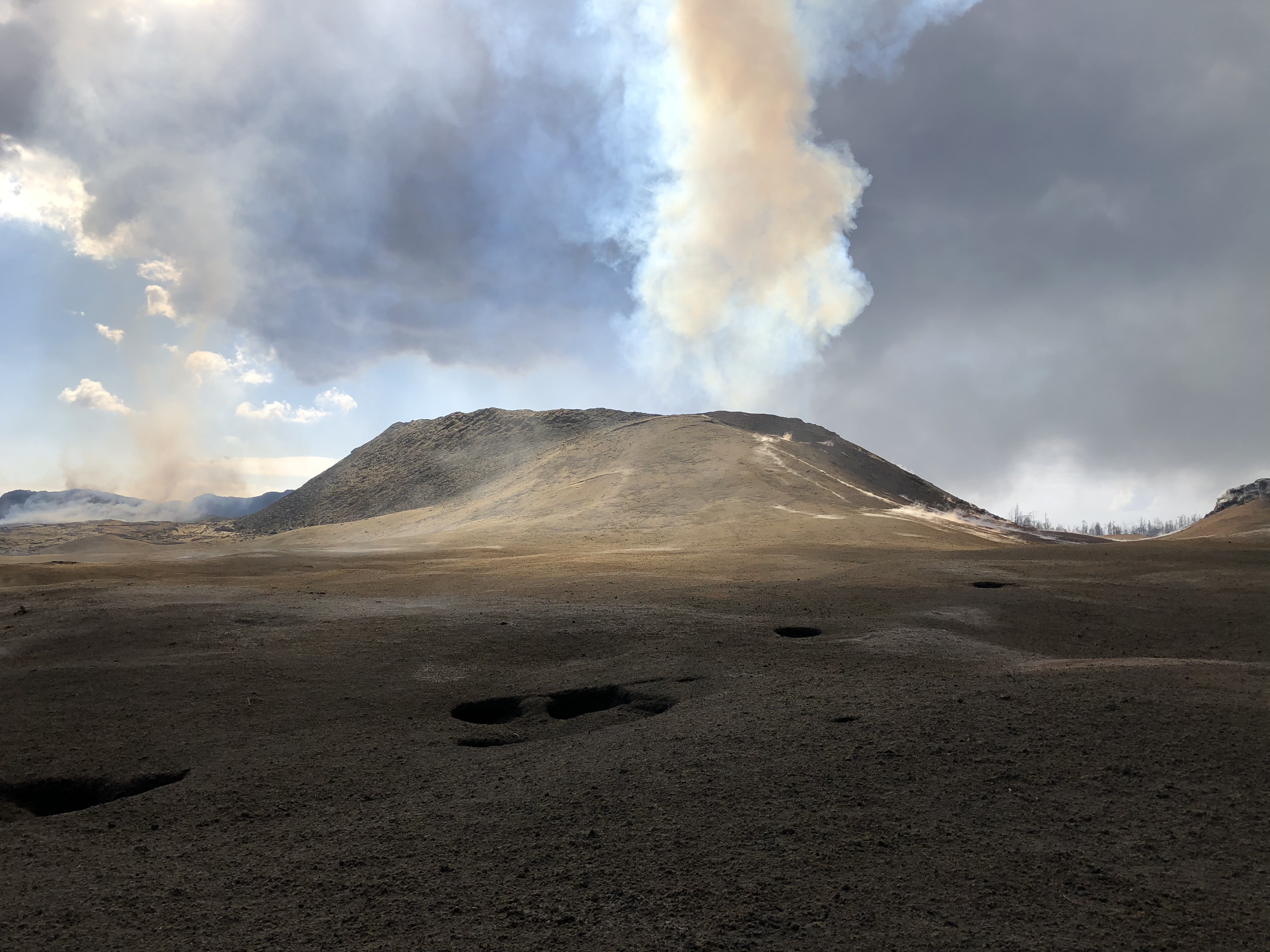
Fissure 8. Click to enlarge. PC: USGS
Small pits in the tephra deposit (foreground) form when the lava fragments collapse into cracks and void spaces below the surface.
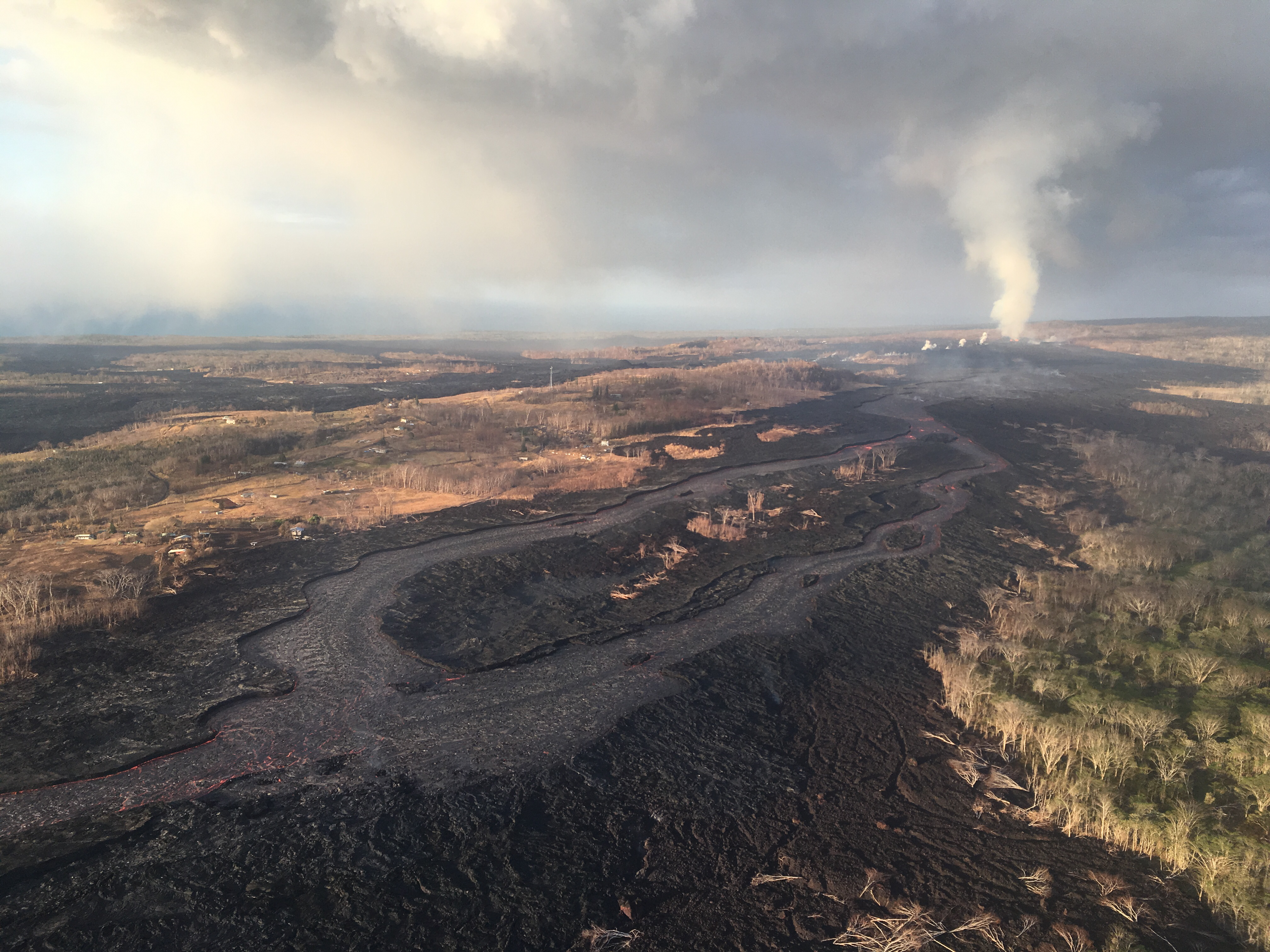
An aerial view looking to the west, near the braided section of the Fissure 8 lava channel.
Aerial view of Fissure 8. Click to enlarge. PC: USGS
During Thursday mornings overflight, the channelized lava was at a lower level than usual, but was still being fed by vigorous outflow from the vent.
An aerial view looking south, with the Fissure 8 lava channel on the west side of Kapoho Crater, visible at left.
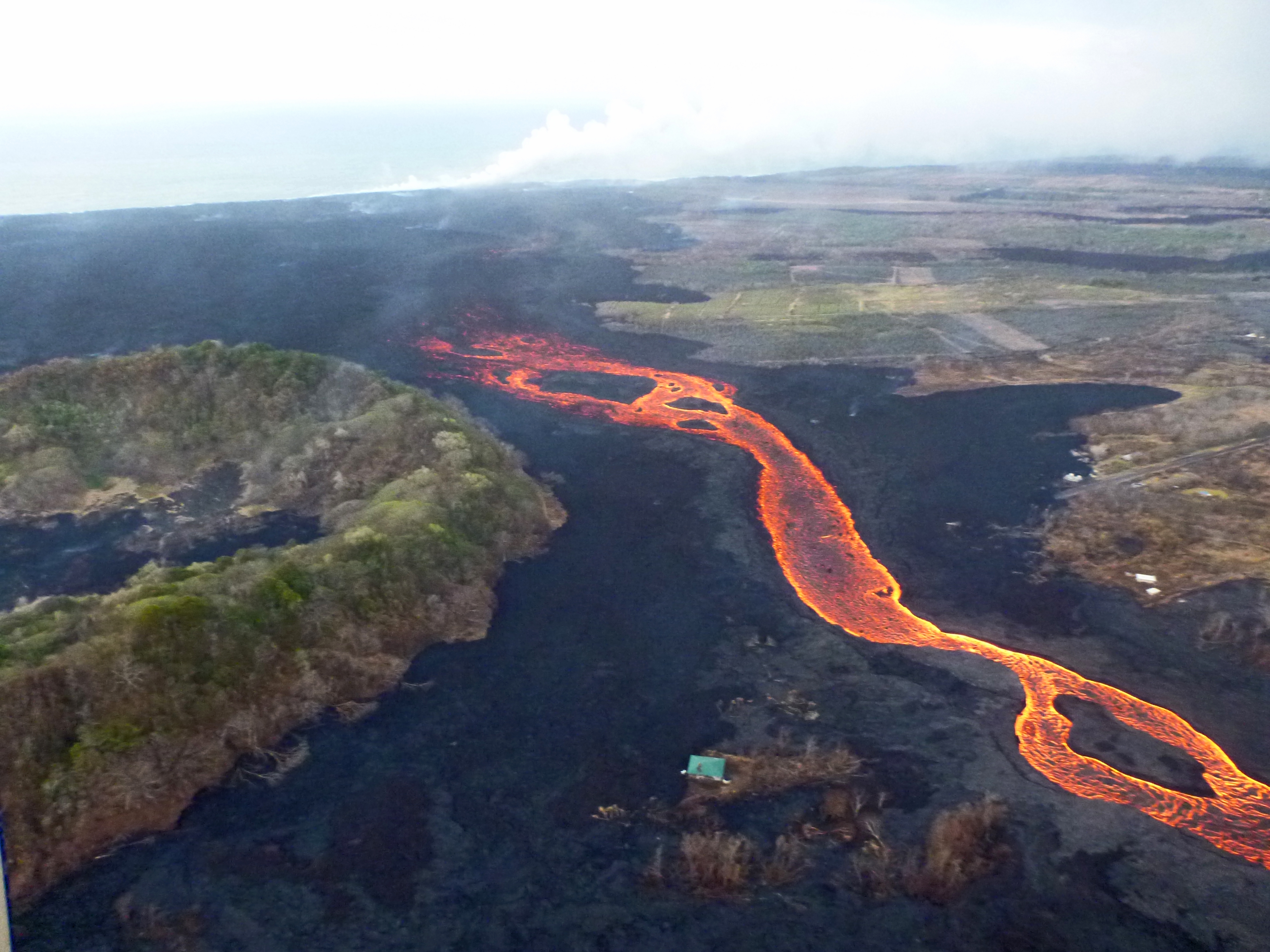
An aerial view of the East Rift Zone looking south. Click to enlarge. PC: USGS
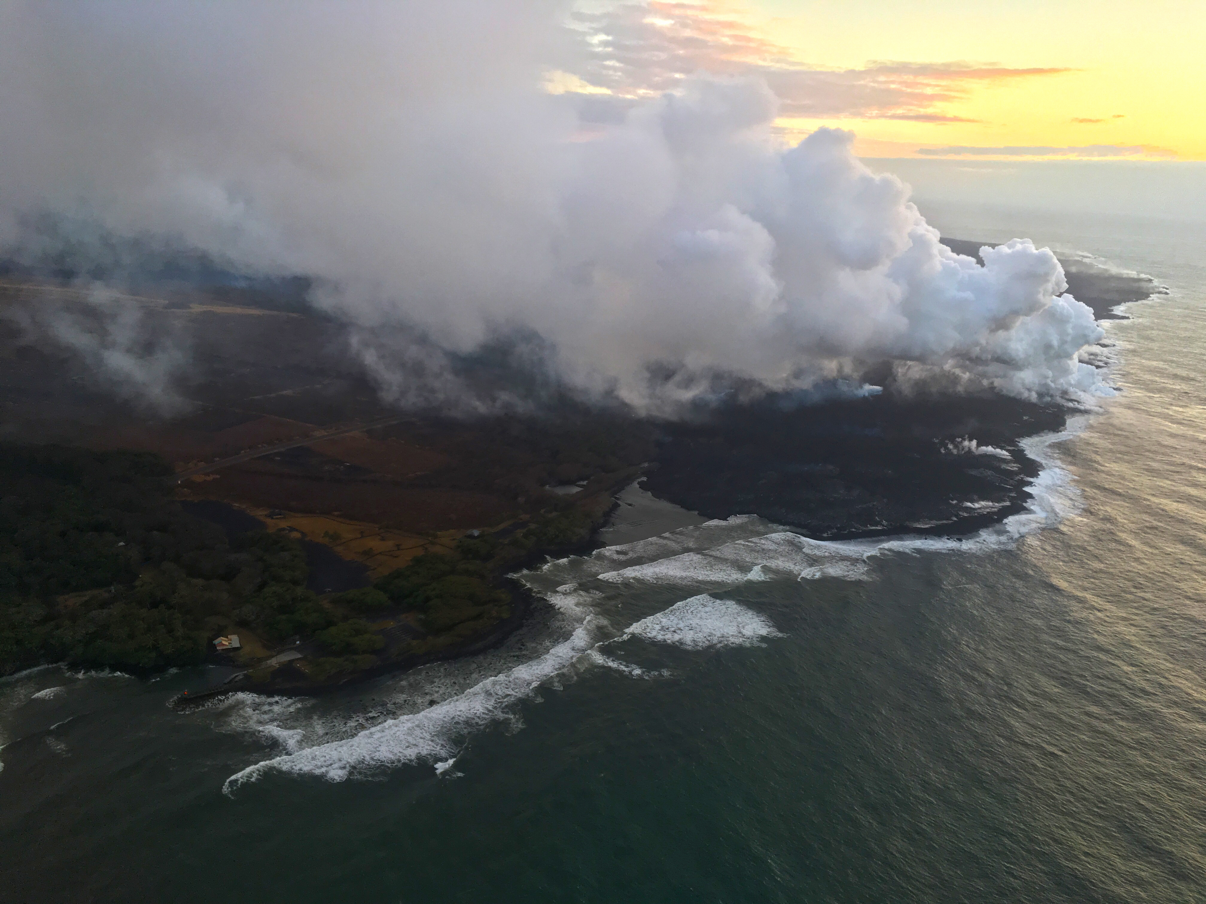
As it nears the ocean, the channelized lava transitions to a broad ‘a‘ā flow that spreads laterally and toward the coast. The ocean entry plume is barely visible in the far distance (top).
The Pohoiki Boat Harbor is in the bottom left in this photo taken on July 19, 2018. Click to enlarge. PC: USGS
As of Thursday morning, July 19, 2018, the southern margin of the Fissure 8 ocean entry was about 0.3 miles from the boat ramp at Isaac Hale Park.


Sponsored Content

