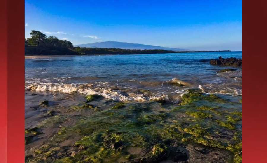
Outlook through Friday July 20: A slight increase in trade wind swell is expected over the weekend and will hold steady into early next week. The current south swell will continue to decline through Saturday. A slightly larger southwest swell from the Tasman Sea, is expected to fill in Saturday night, peak Sunday night and slowly drop on Monday. A series of storms southeast of New Zealand this past week should provide surf near the summer average for the second half of next week. Surf heights along all shores are expected to remain below advisory levels.
Surf heights are forecast heights of the face, or front, of waves. The surf forecast is based on the significant wave height, the average height of the one third largest waves, at the locations of the largest breakers. Some waves may be more than twice as high as the significant wave height. Expect to encounter rip currents in or near any surf zone.
North East
ampm
ARTICLE CONTINUES BELOW AD
ARTICLE CONTINUES BELOW AD
Surf: Waist high E short period wind swell in the morning builds to waist to chest high for the afternoon.
Conditions: Light sideshore texture in the morning with SSE winds 5-10mph. Sideshore texture/chop conditions for the afternoon with the winds shifting SE 10-15mph.
North West
ampm
Surf: Ankle to knee high SSW ground swell.
ARTICLE CONTINUES BELOW AD
Conditions: Glassy in the early morning with S winds less than 5mph. Semi choppy conditions move in during the morning hours with the winds shifting WSW 5-10mph.
West
ampm
Surf: Knee high S ground swell with occasional waist high sets.
Conditions: Semi glassy/semi bumpy with S winds less than 5mph in the morning shifting W 5-10mph in the afternoon.
ARTICLE CONTINUES BELOW AD
South East
ampm
Surf: Waist high E short period wind swell for the morning with occasional stomach high sets. The swell builds in the afternoon with sets up to chest high.
Conditions: Fairly clean in the morning with N winds 5-10mph. Light sideshore texture conditions for the afternoon with the winds shifting to the NNE.
Image: NOAA
Image: NOAA
Image: NOAA
Image: NOAA
Image: NOAA
**Click directly on the images below to make them larger. Charts include: Hawaii County projected winds, tides, swell direction & period and expected wave heights.**
This comments section is a public community forum for the purpose of free expression. Although Big Island Now encourages respectful communication only, some content may be considered offensive. Please view at your own discretion. View Comments