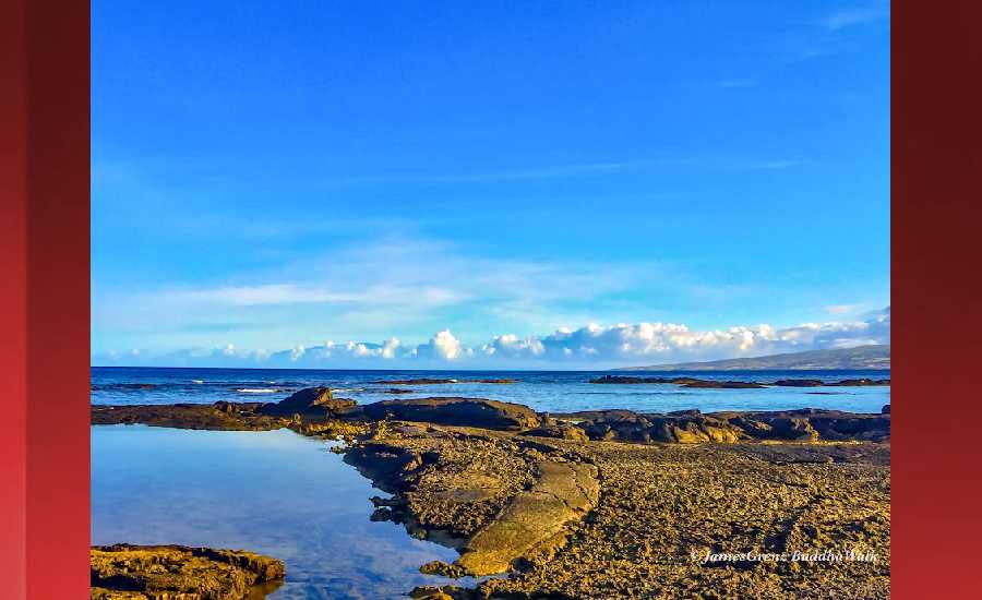
Outlook through Thursday May 31: Surf will remain below advisory levels along all shores through at least the middle of next week. A series of swells from the Tasman Sea will keep surf along south facing shores near the summertime average. Rough surf along east facing shores will subside early next week as trade winds weaken.
Surf heights are forecast heights of the face, or front, of waves. The surf forecast is based on the significant wave height, the average height of the one third largest waves, at the locations of the largest breakers. Some waves may be more than twice as high as the significant wave height. Expect to encounter rip currents in or near any surf zone.
North East
ampm
ARTICLE CONTINUES BELOW AD
ARTICLE CONTINUES BELOW AD
Surf: Waist to chest high E short period wind swell for the morning. The surf builds from the E into the stomach to shoulder high range for the afternoon.
Conditions: Light sideshore texture in the morning with SSE winds 5-10mph. Sideshore texture/chop conditions for the afternoon with the winds shifting SE 10-15mph.
North West
ampm
Surf: Knee high SW long period swell with occasional thigh high sets.
ARTICLE CONTINUES BELOW AD
Conditions: Semi glassy in the morning with SW winds less than 5mph. Sideshore texture/chop conditions for the afternoon as the winds increase to 10-15mph.
West
ampm
Surf: Knee to waist high SSW long period swell.
Conditions: Glassy in the morning with SW winds less than 5mph. Semi glassy/semi bumpy conditions for the afternoon as the winds increase to 5-10mph.
ARTICLE CONTINUES BELOW AD
South East
ampm
Surf: Stomach to shoulder high E wind swell.
Conditions: Sideshore texture/chop with NE winds 10-15mph in the morning shifting ENE for the afternoon.
Image: NOAA
Image: NOAA
Image: NOAA
Image: NOAA
Image: NOAA
**Click directly on the images below to make them larger. Charts include: Hawaii County projected winds, tides, swell direction & period and expected wave heights.**
This comments section is a public community forum for the purpose of free expression. Although Big Island Now encourages respectful communication only, some content may be considered offensive. Please view at your own discretion. View Comments