Outlook through Tuesday May 08: A north swell will decline over the next couple of days. A south swell is expected Wednesday, which will lead to a slight increase in surf along south facing shores through the second half of the week. Overlapping small long period south southwest swells will move through the over the upcoming weekend, likely keeping small surf in place along south facing shores. Another large north swell will become a possibility by next Monday and Tuesday, which could support advisory-level surf along north facing shores if it materializes. Surf along east facing shores will remain small this week, but may gradually begin to come up early next week as trade winds return across the state and upstream.
Surf heights are forecast heights of the face, or front, of waves. The surf forecast is based on the significant wave height, the average height of the one third largest waves, at the locations of the largest breakers. Some waves may be more than twice as high as the significant wave height. Expect to encounter rip currents in or near any surf zone.
North East
ampm
ARTICLE CONTINUES BELOW AD
ARTICLE CONTINUES BELOW AD
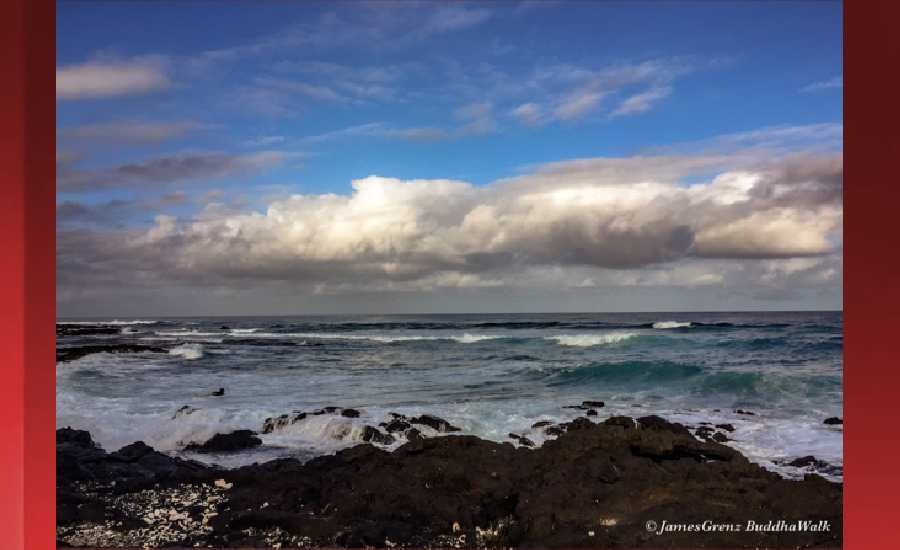
Surf: Waist to chest high NNW medium period swell.
Conditions: Semi glassy in the morning with SE winds less than 5mph. Choppy/sideshore current conditions for the afternoon as the winds increase to 15-20mph.
North West
ampm
Surf: Ankle to knee high SSW ground swell.
ARTICLE CONTINUES BELOW AD
Conditions: Semi glassy in the morning with NE winds less than 5mph. Semi glassy/semi bumpy conditions for the afternoon with the winds shifting WNW 5-10mph.
West
ampm
Surf: Waist high SSW ground swell in the morning with occasional stomach high sets. This drops a bit in the afternoon.
Conditions: Glassy in the morning with SSE winds less than 5mph. Bumpy/semi bumpy conditions for the afternoon with the winds shifting WNW 5-10mph.
ARTICLE CONTINUES BELOW AD
South East
ampm
Surf: Waist to stomach high ESE wind swell.
Conditions: Clean in the morning with NNW winds 5-10mph. Semi glassy/semi bumpy conditions for the afternoon with the winds shifting SE less than 5mph.
Image: NOAA
Image: NOAA
Image: NOAA
Image: NOAA
Image: NOAA
**Click directly on the images below to make them larger. Charts include: Hawaii County projected winds, tides, swell direction & period and expected wave heights.**
This comments section is a public community forum for the purpose of free expression. Although Big Island Now encourages respectful communication only, some content may be considered offensive. Please view at your own discretion. View Comments