**Click directly on the images below to make them larger. Charts include: Hawaii Island high/low forecasted temperatures, projected winds, projected localized weather conditions and expected wave heights.**
+
SWIPE LEFT OR RIGHT
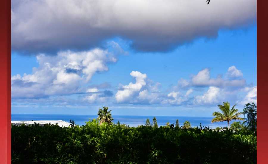
Looking Ahead
High pressure north of the state will maintain moderate to breezy trades through early next week. A typical trade wind shower pattern is expected today with windward and mauka areas being the primary targets. Deep moisture will increase as an old front sags southward into the islands tonight through Friday, while an upper level trough passes overhead. Shower activity will increase, particularly from Oahu eastward to the Big Island, with locally heavy rainfall and thunderstorms possible late tonight through Friday morning. Drier and more stable weather is expected this weekend through early next week, with a more typical windward and mauka shower regime.
Hilo
ARTICLE CONTINUES BELOW AD
ARTICLE CONTINUES BELOW AD
Today: Occasional showers. High near 81. Calm wind becoming east around 6 mph in the afternoon. Chance of precipitation is 80%. New precipitation amounts of less than a tenth of an inch possible.
Tonight: Occasional showers. The rain could be heavy at times. Low around 65. Calm wind. Chance of precipitation is 90%. New precipitation amounts between a tenth and quarter of an inch possible.
Thursday: Occasional showers, with thunderstorms also possible after 7am. Some of the storms could produce heavy rainfall. High near 80. Calm wind. Chance of precipitation is 90%. New rainfall amounts between a tenth and quarter of an inch, except higher amounts possible in thunderstorms.
Kona
Today: Isolated showers before 7am, then scattered showers after 1pm. Widespread haze before 7am. Mostly cloudy, with a high near 84. Calm wind becoming west southwest 5 to 9 mph in the afternoon. Chance of precipitation is 30%. New precipitation amounts of less than a tenth of an inch possible.
ARTICLE CONTINUES BELOW AD
Tonight: Scattered showers. Cloudy, with a low around 65. Light and variable wind. Chance of precipitation is 30%. New precipitation amounts between a quarter and half of an inch possible.
Thursday: Scattered showers, with thunderstorms also possible after 7am. Some of the storms could produce heavy rainfall. Cloudy, with a high near 83. Calm wind becoming west southwest 5 to 7 mph in the morning. Chance of precipitation is 50%. New rainfall amounts between a quarter and half of an inch possible.
Waimea
Today: Showers likely, mainly after 1pm. Cloudy, with a high near 75. Breezy, with a northeast wind around 18 mph, with gusts as high as 26 mph. Chance of precipitation is 70%. New precipitation amounts between a quarter and half of an inch possible.
Tonight: Showers likely. The rain could be heavy at times. Cloudy, with a low around 54. Breezy, with a northeast wind 15 to 18 mph, with gusts as high as 26 mph. Chance of precipitation is 70%. New precipitation amounts between 1 and 2 inches possible.
ARTICLE CONTINUES BELOW AD
Thursday: Showers likely, then occasional showers and possibly a thunderstorm after 7am. Some of the storms could produce heavy rainfall. High near 74. Northeast wind 11 to 14 mph, with gusts as high as 20 mph. Chance of precipitation is 90%. New rainfall amounts between 1 and 2 inches possible.
Kohala
Today: Occasional showers. High near 68. Windy, with an east wind 25 to 30 mph, with gusts as high as 43 mph. Chance of precipitation is 80%. New precipitation amounts of less than a tenth of an inch possible.
Tonight: Occasional showers. The rain could be heavy at times. Low around 46. Windy, with an east wind 24 to 29 mph decreasing to 18 to 23 mph after midnight. Winds could gust as high as 40 mph. Chance of precipitation is 80%. New precipitation amounts between a tenth and quarter of an inch possible.
Thursday: Occasional showers and possibly a thunderstorm. Some of the storms could produce heavy rainfall. High near 67. Breezy, with an east wind 11 to 16 mph increasing to 17 to 22 mph in the afternoon. Winds could gust as high as 31 mph. Chance of precipitation is 90%. New rainfall amounts between a tenth and quarter of an inch, except higher amounts possible in thunderstorms.
South Point
Today: Isolated showers. Mostly cloudy, with a high near 84. Windy, with an east wind 25 to 28 mph, with gusts as high as 36 mph. Chance of precipitation is 20%.
Tonight: Scattered showers. Cloudy, with a low around 71. Windy, with an east northeast wind 22 to 28 mph, with gusts as high as 34 mph. Chance of precipitation is 40%. New precipitation amounts of less than a tenth of an inch possible.
Thursday: Scattered showers and thunderstorms. Some of the storms could produce heavy rainfall. Cloudy, with a high near 83. Windy, with an east northeast wind 20 to 23 mph, with gusts as high as 28 mph. Chance of precipitation is 50%. New rainfall amounts of less than a tenth of an inch, except higher amounts possible in thunderstorms.
Puna
Today: Occasional showers. High near 79. North northwest wind 6 to 8 mph becoming northeast in the afternoon. Chance of precipitation is 80%. New precipitation amounts between a quarter and half of an inch possible.
Tonight: Occasional showers. The rain could be heavy at times. Low around 63. North northeast wind around 6 mph becoming northwest after midnight. Chance of precipitation is 90%. New precipitation amounts between three quarters and one inch possible.
Thursday: Occasional showers and possibly a thunderstorm. Some of the storms could produce heavy rainfall. High near 78. Light and variable wind becoming north 5 to 8 mph in the afternoon. Chance of precipitation is 90%. New rainfall amounts between three quarters and one inch possible.
Waikoloa
Today: Isolated showers after noon. Mostly cloudy, with a high near 81. Northeast wind 10 to 14 mph, with gusts as high as 18 mph. Chance of precipitation is 20%.
Tonight: Isolated showers. Cloudy, with a low around 64. East wind 8 to 11 mph. Chance of precipitation is 20%.
Thursday: Scattered showers and thunderstorms, then showers likely and possibly a thunderstorm after noon. Some of the storms could produce heavy rainfall. Cloudy, with a high near 80. North northeast wind 5 to 9 mph. Chance of precipitation is 60%. New rainfall amounts between a half and three quarters of an inch possible.
This comments section is a public community forum for the purpose of free expression. Although Big Island Now encourages respectful communication only, some content may be considered offensive. Please view at your own discretion. View Comments