Outlook through Wednesday March 21: The current north swell will continue to gradually diminish through Thursday. As the trade winds weaken and shift to a southeast direction tonight and Thursday, expect surf to diminish along east facing shores. Small north and northwest swells arriving this weekend may produce slight bumps in surf along north and west facing shores from Saturday through early next week.
Surf heights are forecast heights of the face, or front, of waves. The surf forecast is based on the significant wave height, the average height of the one third largest waves, at the locations of the largest breakers. Some waves may be more than twice as high as the significant wave height. Expect to encounter rip currents in or near any surf zone.
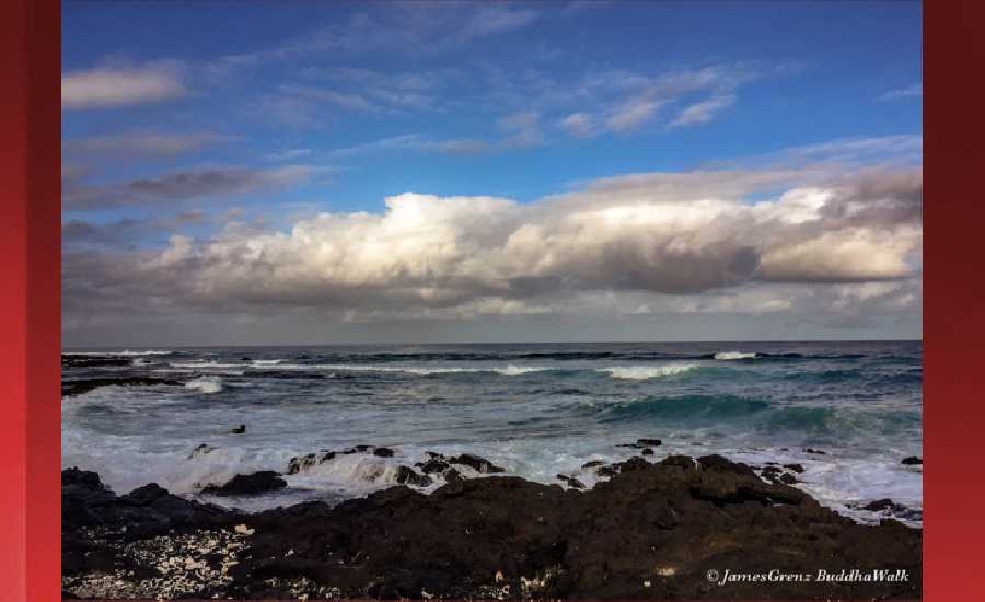
North East
ampm
ARTICLE CONTINUES BELOW AD
ARTICLE CONTINUES BELOW AD
Surf: Waist to chest high E wind swell for the morning with occasional shoulder high sets. A similar size NNW medium period swell fills in during the afternoon.
Conditions: Choppy/sideshore current with SE winds 15-20mph.
North West
ampm
Surf: Ankle to knee high SSW ground swell for the morning going more N during the day.
ARTICLE CONTINUES BELOW AD
Conditions: Sideshore texture/chop with NE winds 5-10mph in the morning shifting WSW 10-15mph in the afternoon.
West
ampm
Surf: Ankle to knee high SSW ground swell.
Conditions: Light sideshore texture in the morning with SSE winds 5-10mph. Semi glassy/semi bumpy conditions for the afternoon with the winds shifting to the SSW. Glassy conditions are expected by late afternoon with SW winds less than 5mph.
ARTICLE CONTINUES BELOW AD
South East
ampm
Surf: Waist to chest high ESE wind swell with occasional shoulder high sets.
Conditions: Bumpy/choppy in the morning with ESE winds 10-15mph. Semi glassy/semi bumpy conditions for the afternoon with the winds shifting SSE 5-10mph.
Image: NOAA
Image: NOAA
Image: NOAA
Image: NOAA
Image: NOAA
**Click directly on the images below to make them larger. Charts include: Hawaii County projected winds, tides, swell direction & period and expected wave heights.**
This comments section is a public community forum for the purpose of free expression. Although Big Island Now encourages respectful communication only, some content may be considered offensive. Please view at your own discretion. View Comments