A Larger South Swell is Forecast to Fill in Late Wednesday
Alerts (as of 1:00 a.m.)
There are no weather alerts posted today.
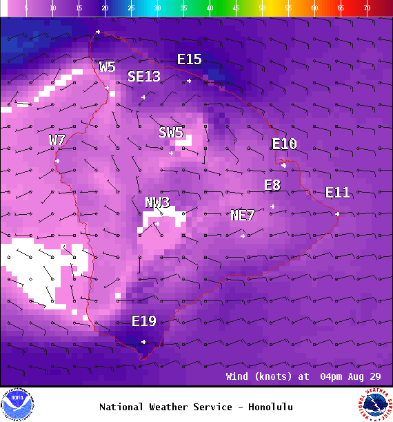
**Click directly on the images below to make them larger. Charts include: Big Island projected winds, tides, swell direction & period and expected wave heights.**
Big Island Surf Forecast
Hilo side: Surf heights are expected to be knee/thigh high today.
Kona side: Surf heights are expected to be ankle/knee/waist high today or less.
South: Surf heights are expected to be ankle/knee/waist high today or less.
Tuesday swell is fading for southern exposures. A larger south swell is forecast to fill in late Wednesday into Thursday, hold Friday into Saturday. A small long-period swell is forecast for 9/2 as well.
Nothing is on the radar out of the North Pacific and Kenneth swell is fading. Tropical swell is possible next week. We will keep an eye on it.
Keep in mind, surf heights are measured on the face of the wave from trough to crest. Heights vary from beach to beach, and at the same beach, from break to break.


