Special Weather Statement: Coastal flooding is possible as spring tides occur. The greatest potential for that will be in the afternoon hours when the tide is expected to be the highest. This coupled with Fernanda swell could lead to higher than usual run-up. This could last through the weekend.
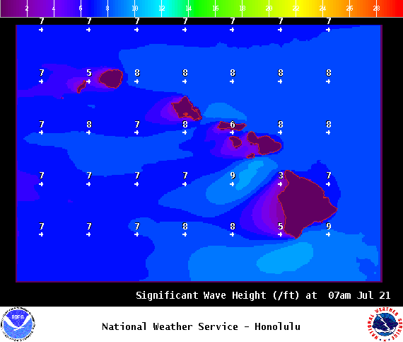
High Surf Advisory: East facing shores of the Big Island and Maui through 6 a.m. Friday.
Small Craft Advisory: East to northeast winds up to 25 knots through 6:00 a.m. Saturday.
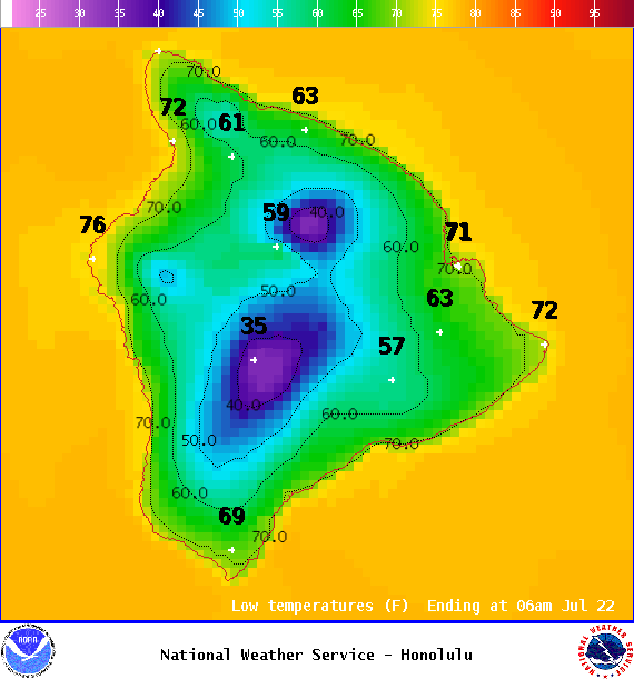
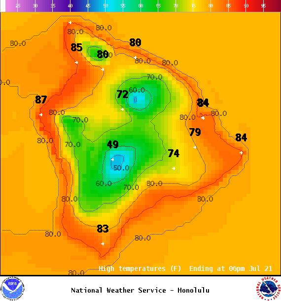
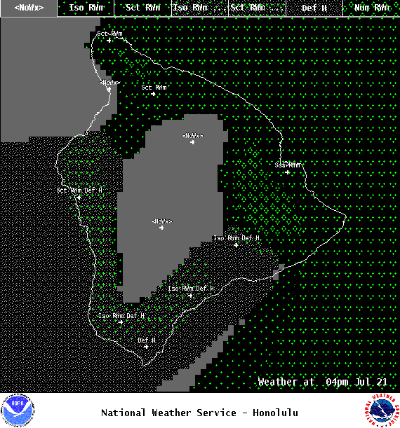
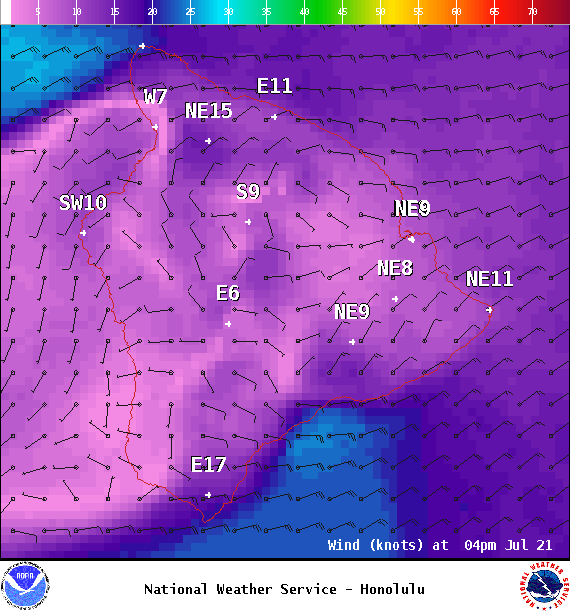
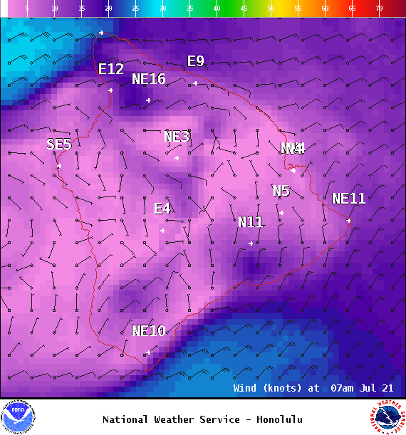
**Click directly on the images below to make them larger. Charts include: Big Island high/low forecasted temperatures, projected winds, chance of cloud cover, projected localized weather conditions, vog/SO2 forecast and expected wave heights.**
+
SWIPE LEFT OR RIGHT
Looking Ahead
ARTICLE CONTINUES BELOW AD
Breezy trades are forecast through Friday, then easing over the weekend. Tropical moisture is forecast to move over the islands this weekend with higher humidity levels. The remnants of Fernanda are expected to pass just north of the islands on Monday. If that scenario holds true we expect our winds to weaken and muggy conditions.
Today
We expect northeast winds around 15 mph. High temperatures are forecast from 82° to 87°. Partly to mostly cloudy skies with numerous scattered showers for the Hilo side in the morning and scattered afternoon showers. Partly sunny skies in the morning for Kona with isolated morning showers and scattered afternoon showers mainly for upslope areas. Areas of haze.
ARTICLE CONTINUES BELOW AD
UV index at 12 (“extreme” exposure level)
Tonight
Northeast winds are forecast around 15 mph. Mostly cloudy skies with scattered windward showers and isolated leeward showers. Shower coverage expected to increase after midnight. Low temperatures from 71° to 76°.
This comments section is a public community forum for the purpose of free expression. Although Big Island Now encourages respectful communication only, some content may be considered offensive. Please view at your own discretion. View Comments