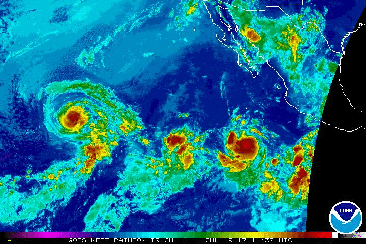
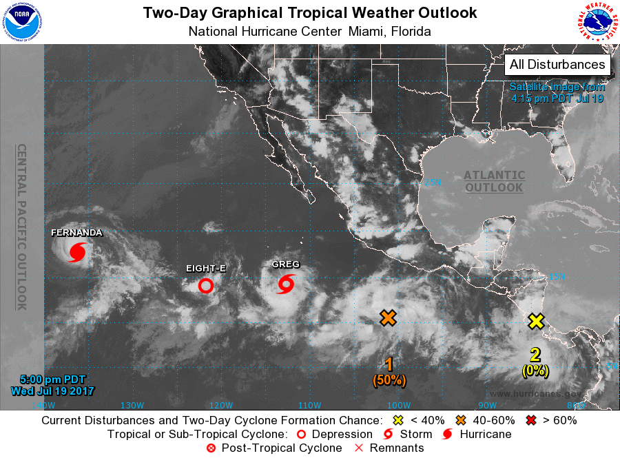
The National Weather Service reports Hurricane Fernanda is located over 1,300 miles east of Hilo moving northwest at approximately 9 mph.
At 11:15 a.m. this morning, Wednesday, July 19, Hurricane Fernanda was centered near 17.7 degrees N 136.3 degrees W, with maximum sustained winds at 80 mph with gusts of over 90 mph.
Fernanda will continue to weaken and should become a tropical storm tonight, then weaken further as it moves west of 140 degrees W by late Thursday night (the Big Island is at 155 degrees W).
ARTICLE CONTINUES BELOW AD
ARTICLE CONTINUES BELOW AD
It is too early to know what effects, if any, Hurricane Fernanda will have on the Big Island or the state.
TROPICAL STORM GREG
Tropical Storm Greg is centered near 14.3 degrees N 112.7 degrees W this morning, about 540 nm SSW of the southern tip of the Baja California peninsula, moving W at 10 mph. Maximum sustained winds are 47 mph with gusts to 57 mph.
ARTICLE CONTINUES BELOW AD
Some intensification is anticipated over the next couple days with Greg approaching near
hurricane strength Friday and Saturday, before gradual weakening later in the weekend.
TROPICAL DEPRESSION EIGHT-E
Tropical Depression Eight-E is centered near 14.1 degrees N 121.7 degrees W this morning‚about 850 nm SW of the southern tip of Baja California. It is moving WSW at 5 mph.
Maximum sustained winds are now 29 mph with gusts to 40 mph. TD Eight-E will remain a weak system through the next few days with dissipation likely by Sunday. The depression will move slowly W or WSW tonight, and likely interact with TS Greg as it dissipates.
ARTICLE CONTINUES BELOW AD
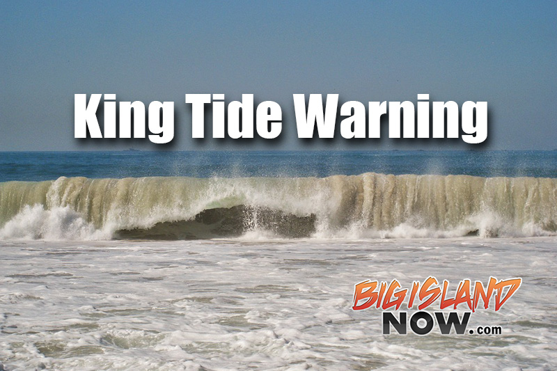
KING TIDES
In addition, the National Weather Service reports unusually high tides may cause flooding conditions along all shores of Hawai‘i Island from tomorrow through the weekend before gradually subsiding next week.
A large swell will continue to expand and spread out ahead of Fernanda to the NW and W during the next few days.
Because of the unusually high tides forecast and possible storm swells from Fernanda, the following precautions should be taken:
Oceanfront residents, beachgoers, and boat owners are advised to be on the alert for high surf, strong currents and flooding.
As a precaution, consider postponing ocean activities until these hazards are over.
Special caution to the coastal areas in and around Kapoho during the high tide periods.
This comments section is a public community forum for the purpose of free expression. Although Big Island Now encourages respectful communication only, some content may be considered offensive. Please view at your own discretion. View Comments