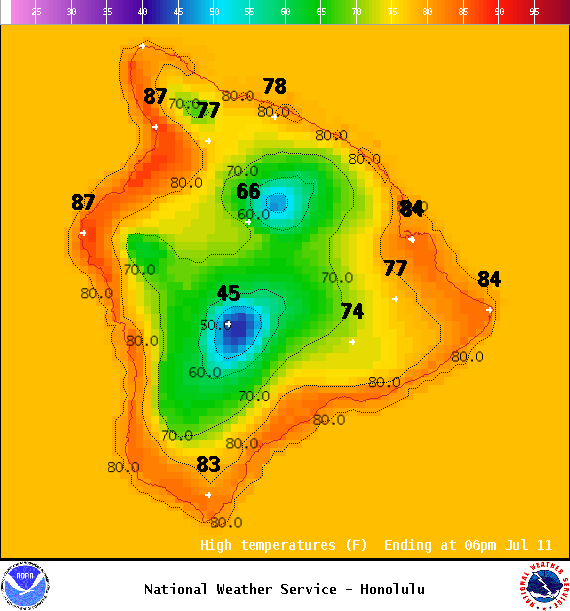
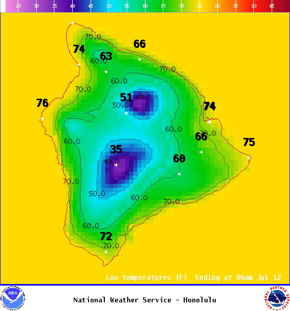
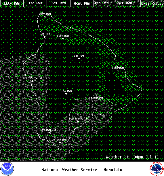
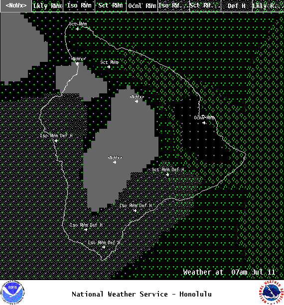
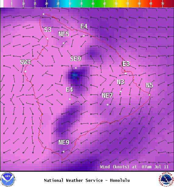
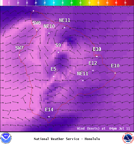
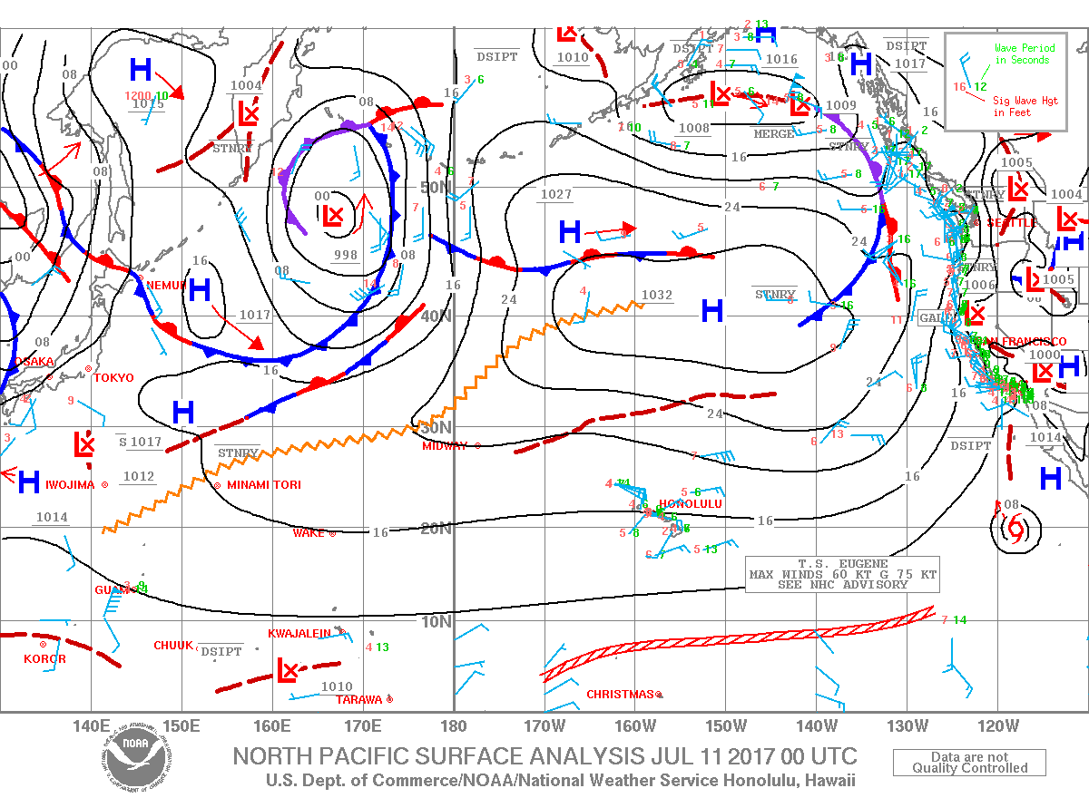
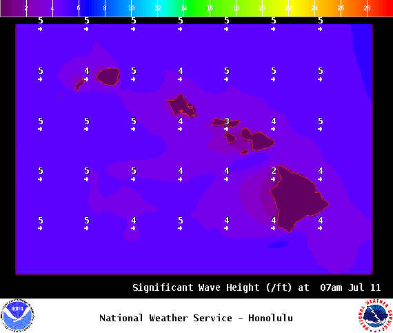
**Click directly on the images below to make them larger. Charts include: Big Island high/low forecasted temperatures, projected winds, chance of cloud cover, projected localized weather conditions, vog/SO2 forecast and expected wave heights.**
+
SWIPE LEFT OR RIGHT
ARTICLE CONTINUES BELOW AD
ARTICLE CONTINUES BELOW AD
Looking Ahead
Moderate to locally breezy trade winds are forecast into the weekend with an area of increased moisture will move across the state Tuesday through Thursday increasing humidity levels and showers especially in windward and mauka spots. A bit drier weather pattern can be expected late Thursday and into the weekend.
ARTICLE CONTINUES BELOW AD
Today
We expect east winds around 15mph. High temperatures are forecast from 83° to 88°. Mostly cloudy skies with showers likely for the Hilo side and morning sunshine for Kona with afternoon scattered showers.
UV index at 12 (“extreme” exposure level)
ARTICLE CONTINUES BELOW AD
Tonight
East winds are forecast around 15 mph. Mostly cloudy skies with occasional windward showers, scattered leeward showers. Low temperatures from 71° to 76°.
This comments section is a public community forum for the purpose of free expression. Although Big Island Now encourages respectful communication only, some content may be considered offensive. Please view at your own discretion. View Comments