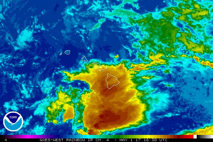
The Flash Flood Watch has been extended through this afternoon for the Big Island.
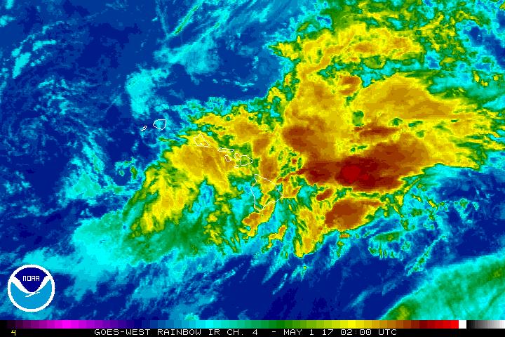
PREVIOUS POST: April 30, 4:49 p.m.
ARTICLE CONTINUES BELOW AD
The National Weather Service in Honolulu has issued a Flash Flood Watch for the Big Island through late tonight.
Moist, unstable air interacting with an upper-level low to the west of the state could cause additional heavy rain and embedded thunderstorms near the Big Island overnight.
Streams may run higher than normal and could exceed banks overnight, leading to flash flooding.
ARTICLE CONTINUES BELOW AD
Low-lying and poor drainage areas will be most susceptible to flash flooding.
A Flash Flood Watch means that conditions may develop that lead to flash flooding.
Flash flooding is VERY DANGEROUS.
You should monitor later forecasts and be prepared to take action should Flash Flood Warnings be issued.
This comments section is a public community forum for the purpose of free expression. Although Big Island Now encourages respectful communication only, some content may be considered offensive. Please view at your own discretion. View Comments