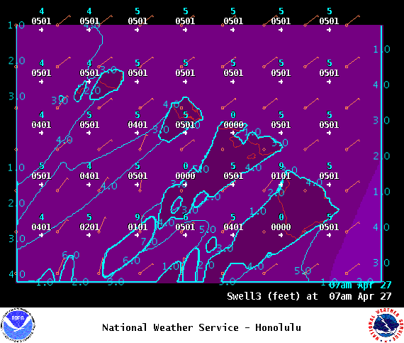
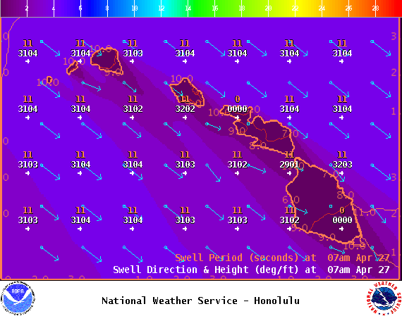
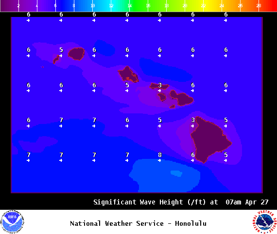
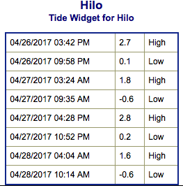
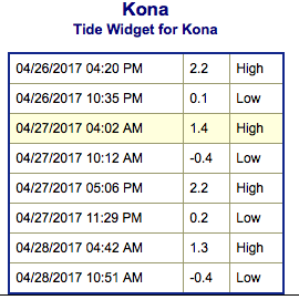
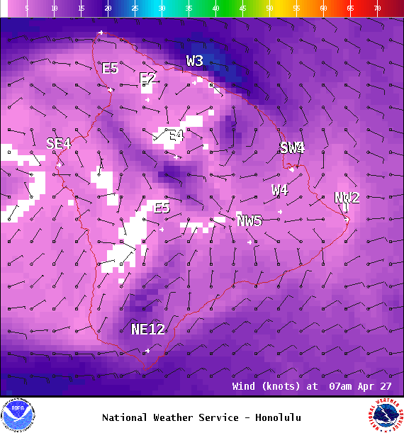
**Click directly on the images below to make them larger. Charts include: Big Island projected winds, tides, swell direction & period and expected wave heights.**
ARTICLE CONTINUES BELOW AD
ARTICLE CONTINUES BELOW AD
+
SWIPE LEFT OR RIGHT
Big Island Surf Forecast
Hilo side: Wave heights are forecast to be knee/shoulder high today.
ARTICLE CONTINUES BELOW AD
Kona side: Wave heights are expected to be knee/waist high today. The best breaks could get up to waist/chest high with shoulder high sets.
South: Wave heights are expected to be knee/waist high today. The best breaks could get up to waist/chest high with shoulder high sets.
A new south-southwest swell is forecast for Thursday / Friday, peaking Friday afternoon. A second pulse is forecast to peak Tuesday into Wednesday.
Only minimal swell expected out of the NPAC for next week at this point but will keep an eye on it.
ARTICLE CONTINUES BELOW AD
Keep in mind, surf heights are measured on the face of the wave from trough to crest. Heights vary from beach to beach, and at the same beach, from break to break.
This comments section is a public community forum for the purpose of free expression. Although Big Island Now encourages respectful communication only, some content may be considered offensive. Please view at your own discretion. View Comments