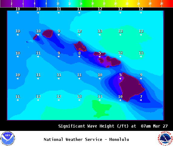
**Click directly on the images below to make them larger. Charts include: Big Island high/low forecasted temperatures, projected winds, chance of cloud cover, projected localized weather conditions, vog/SO2 forecast and expected wave heights.**
+
SWIPE LEFT OR RIGHT
Looking Ahead
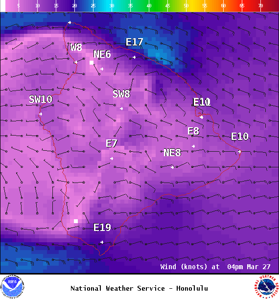
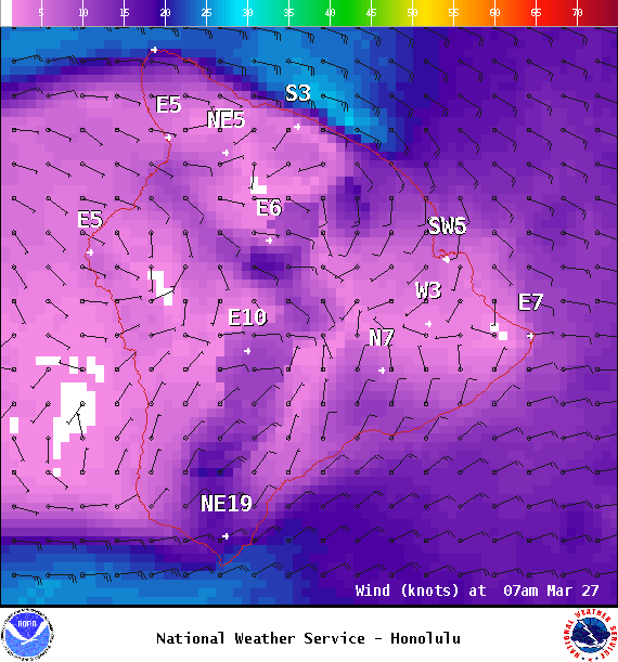
Trade winds are forecast to drop a notch today and last through the upcoming weekend. Stable conditions are expected with showers mainly for windward spots overnight. Wednesday, we could see an increase in showers as a disturbance approaches the state.
ARTICLE CONTINUES BELOW AD
Today
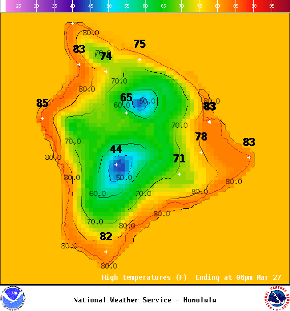
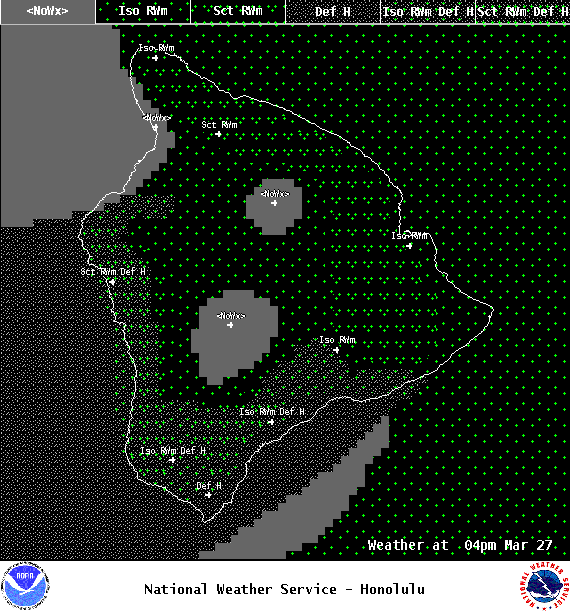
We have northeast winds today around 15 to 20. High temperatures are forecast from 80° to 85°. Partly sunny skies with windward showers likely in the morning and scattered afternoon showers. The Kona side will be mostly sunny to start with mostly cloudy skies and scattered showers in the afternoon. Locally hazy skies are forecast as well.
UV index at 12 (“extreme” exposure level)
ARTICLE CONTINUES BELOW AD
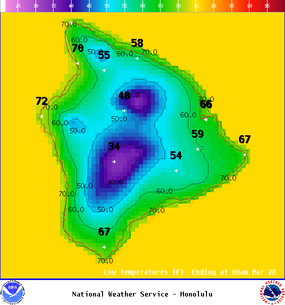
Tonight
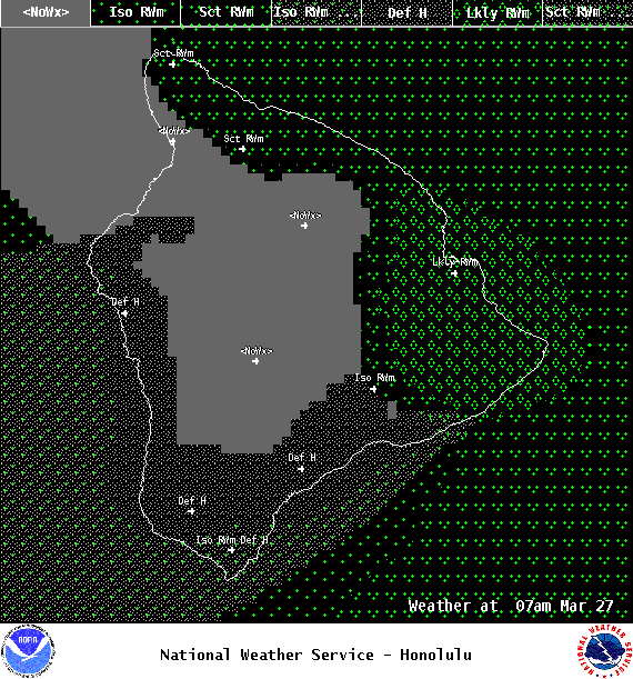
Northeast winds are forecast around 15 mph. Mostly cloudy skies are expected for Hawaii County with scattered windward showers and showers likely after midnight. Clearing skies are expected for the Kona side overnight. Low temperatures from 68° to 73°.
This comments section is a public community forum for the purpose of free expression. Although Big Island Now encourages respectful communication only, some content may be considered offensive. Please view at your own discretion. View Comments