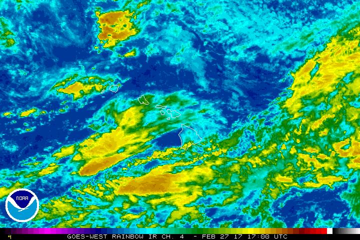
The National Weather Service in Honolulu has issued a Flash Flood Watch for all Hawaiian Islands from noon HST today through Wednesday afternoon.
Increasingly moist and unstable air will overspread the islands today and Tuesday.
A strong upper level disturbance will cause a surface trough or low to develop near the islands over the next couple of days, enhancing the potential for heavy downpours and thunderstorms that could lead to flash flooding.
ARTICLE CONTINUES BELOW AD
ARTICLE CONTINUES BELOW AD
Any heavy showers will be spotty this afternoon, but could become more widespread by Tuesday.
Conditions should gradually improve later in the day on Wednesday.
Some streams and normally dry gulches are expected to run high and could quickly overflow their banks. Intense rainfall in poor drainage and urban areas could also lead to flash flooding.
ARTICLE CONTINUES BELOW AD
A Flash Flood Watch means that conditions may develop that lead to flash flooding. Flash flooding is a very dangerous situation.
This comments section is a public community forum for the purpose of free expression. Although Big Island Now encourages respectful communication only, some content may be considered offensive. Please view at your own discretion. View Comments