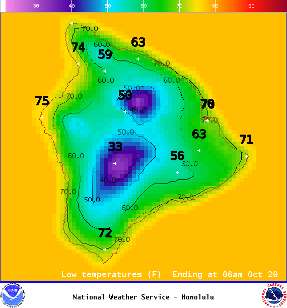
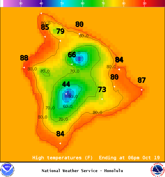
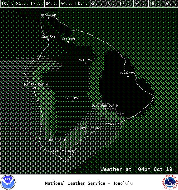
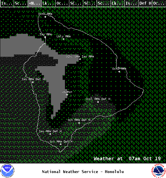
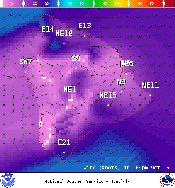
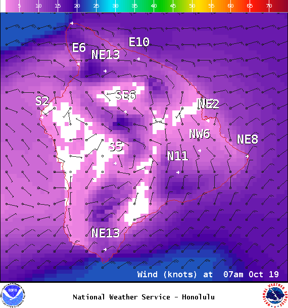
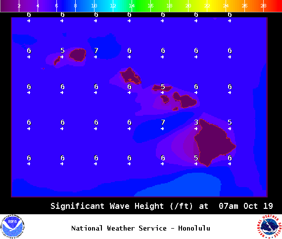
**Click directly on the images below to make them larger. Charts include: Big Island high/low forecasted temperatures, projected winds, chance of cloud cover, projected localized weather conditions, vog/SO2 forecast and expected wave heights.**
+
SWIPE LEFT OR RIGHT
ARTICLE CONTINUES BELOW AD
ARTICLE CONTINUES BELOW AD
Looking Ahead
Moderate trade winds are expected through Wednesday, with an increase on Thursday. Enhanced moisture moving along the trade wind flow is forecast to bring rather wet conditions focused over windward areas through Wednesday. Typical trade weather should prevail by Thursday, though periods of increased windward rainfall are expected as pockets of moisture move along the trade winds at the end of the week.
ARTICLE CONTINUES BELOW AD
Today
Mostly cloudy with occasional showers for windward and mauka areas. Hazy skies for the Kona side. Sunny in the morning and isolated showers with building clouds in the afternoon and scattered showers. High temperatures from 83° to 88°. Winds will be east from 10 to 20 mph.
UV index at 9 (“very high” exposure level)
ARTICLE CONTINUES BELOW AD
Tonight
Winds will be east around 10 to 20 mph. Mostly cloudy with occasional windward showers. Kona side should be clearing as the night goes on. Low temperatures from 71° to 76°.
This comments section is a public community forum for the purpose of free expression. Although Big Island Now encourages respectful communication only, some content may be considered offensive. Please view at your own discretion. View Comments