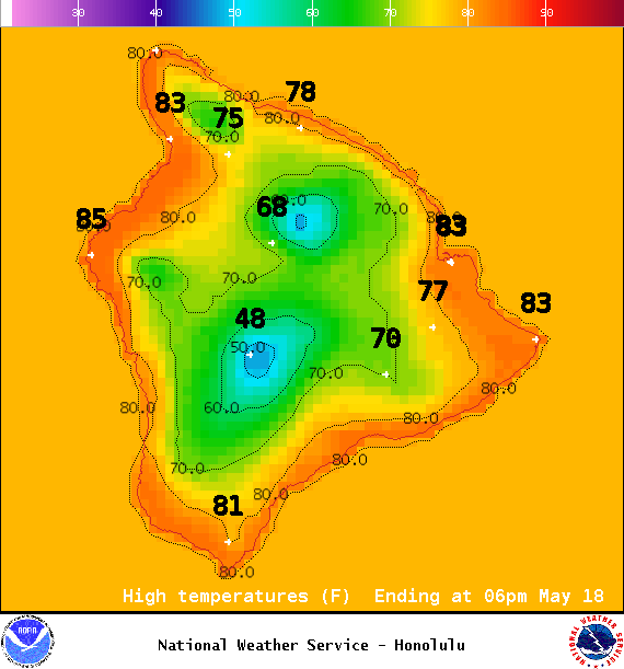
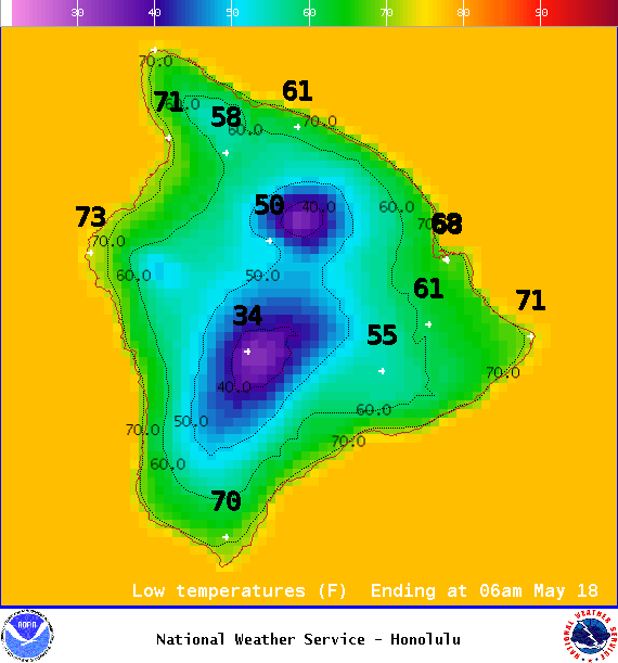
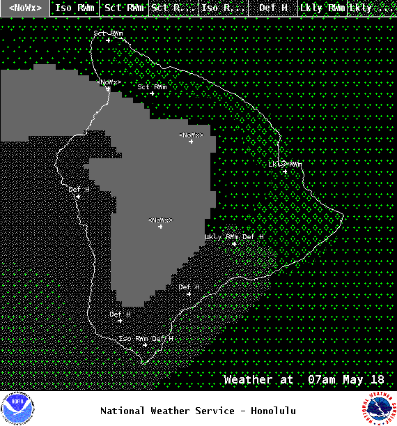
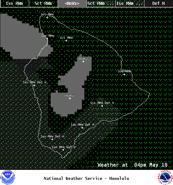
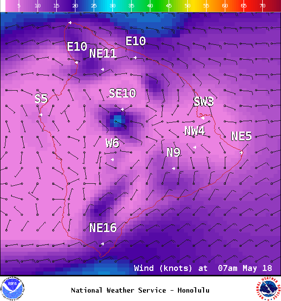
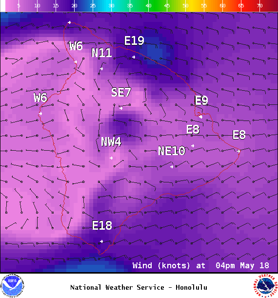
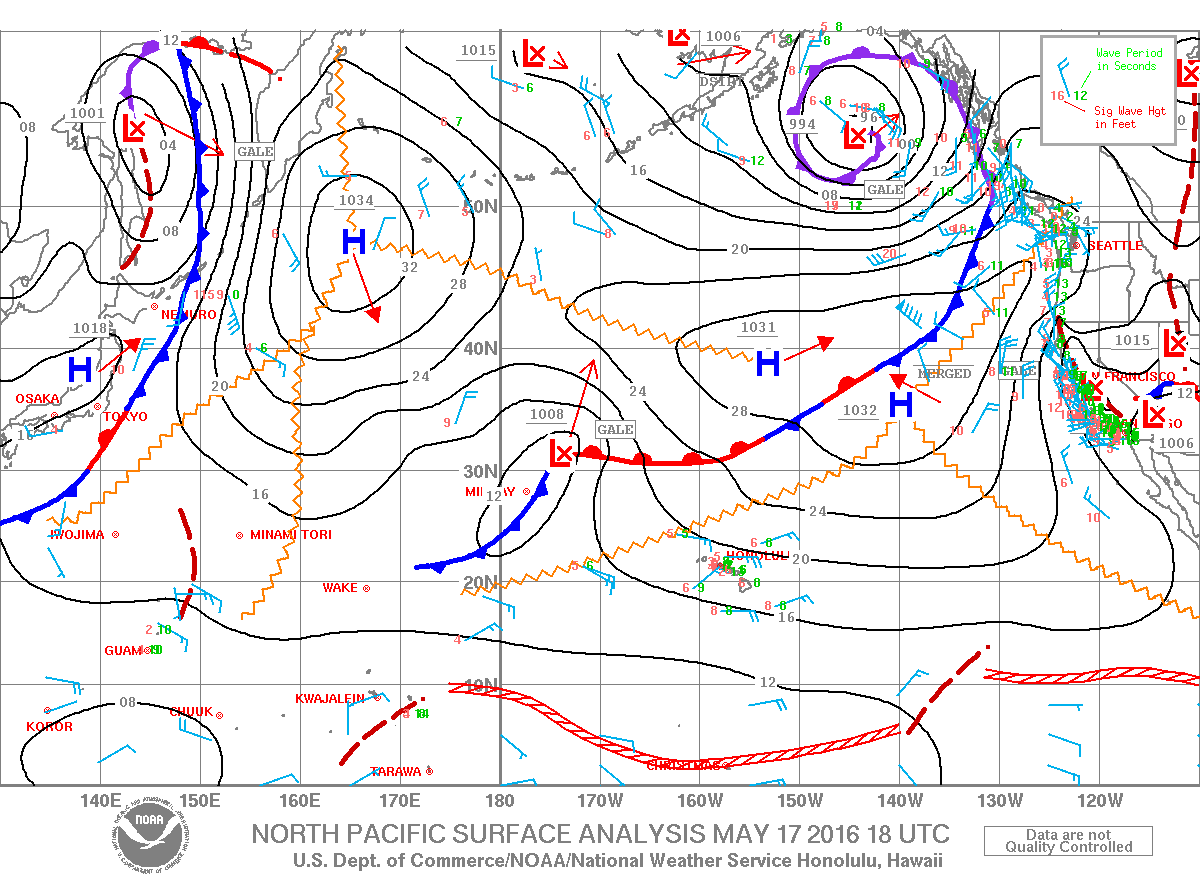
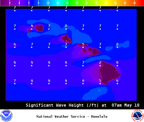
**Click directly on the images below to make them larger. Charts include: Big Island high/low forecasted temperatures, projected winds, chance of cloud cover, projected localized weather conditions, vog/SO2 forecast and expected wave heights.**
+
SWIPE LEFT OR RIGHT
ARTICLE CONTINUES BELOW AD
ARTICLE CONTINUES BELOW AD
Looking Ahead
Breezy trade winds are forecast into Wednesday before gradually weakening for the second half of the week. Trades are expected to increase again over the weekend. Clouds and showers will favor windward and mauka areas through the week, with a few passing showers reaching leeward locations.
ARTICLE CONTINUES BELOW AD
Today
We expect a partly cloudy skies with scattered windward showers today. Sunny morning for the Kona side with partly sunny skies and isolated showers in the afternoon. Northeast winds are forecast from 10 to 20 mph with higher gusts. High temperatures from 80° to 85°.
UV index at 12 (“extreme” exposure level)
ARTICLE CONTINUES BELOW AD
Tonight
Northeast winds are expected from 10 to 20 mph. Mostly cloudy skies are forecast with scattered windward showers. For the Kona side just isolated showers. Low temperatures from 69° to 74°.
This comments section is a public community forum for the purpose of free expression. Although Big Island Now encourages respectful communication only, some content may be considered offensive. Please view at your own discretion. View Comments