Following its Tuesday morning overflight assessment of the June 27 lava flow, Hawai’i County Civil Defense said that the downslope portion of the flow areas continue to show very little activity.
Further upslope, about 8 miles up and near the summit, Civil Defense noted that small breakouts continue. Hawaiian Volcano Observatory said Monday that there are three main breakouts in that area and that they are taking the majority of the lava supply.
At the current time, none of the lava flow activity is posing an immediate threat to communities in the area. Civil Defense, along with HVO, will continue to monitor conditions and keep the public informed of any changes.
Moderate to heavy smoke and vog conditions were reported Tuesday morning as a light south wind was blowing smoke and vog in a northeast direction. Vog and smoke conditions have also settled over lower Puna through Hilo, due to a light inversion. Civil Defense officials said that the conditions should improve as the morning continues and the day heats up, breaking up the inversion. Individuals who are sensitive should take necessary precautions.
+
SWIPE LEFT OR RIGHT
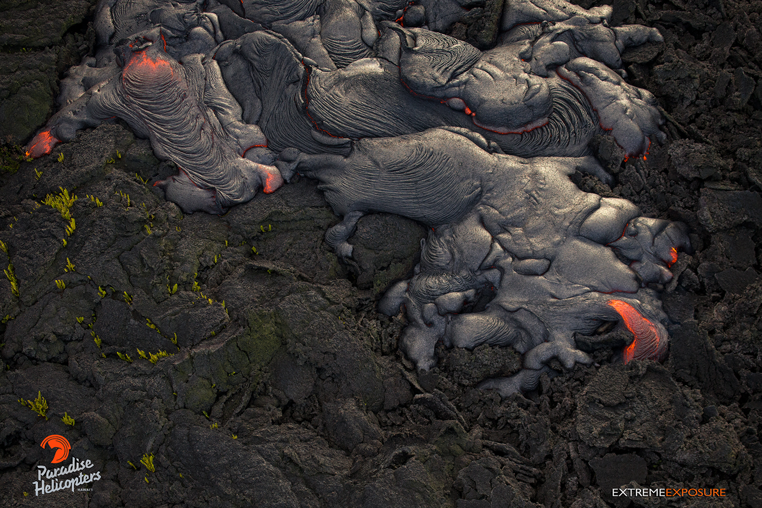
In this photo, taken March 16, a fresh pahoehoe flow covers an older one in the vicinity of the perched channel, roughly two miles northeast of Pu‘u ‘O‘o. Photo credit: Extreme Exposure Media/Paradise Helicopters.
This photo, taken March 16, shows molten lava in the shape of the island of Oahu. Photo credit: Extreme Exposure Media/Paradise Helicopters.
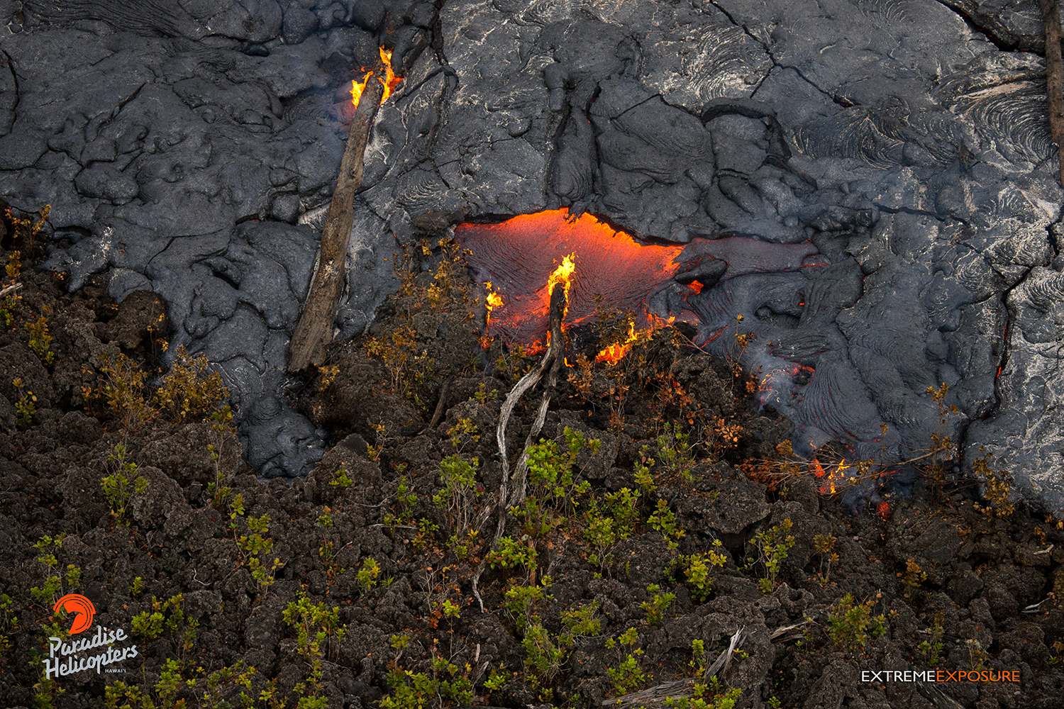
In this photo, taken March 16, Pahoehoe creeps over an old ‘a‘a flow and encroaches upon ohia saplings. Photo credit: Extreme Exposure Media/Paradise Helicopters.
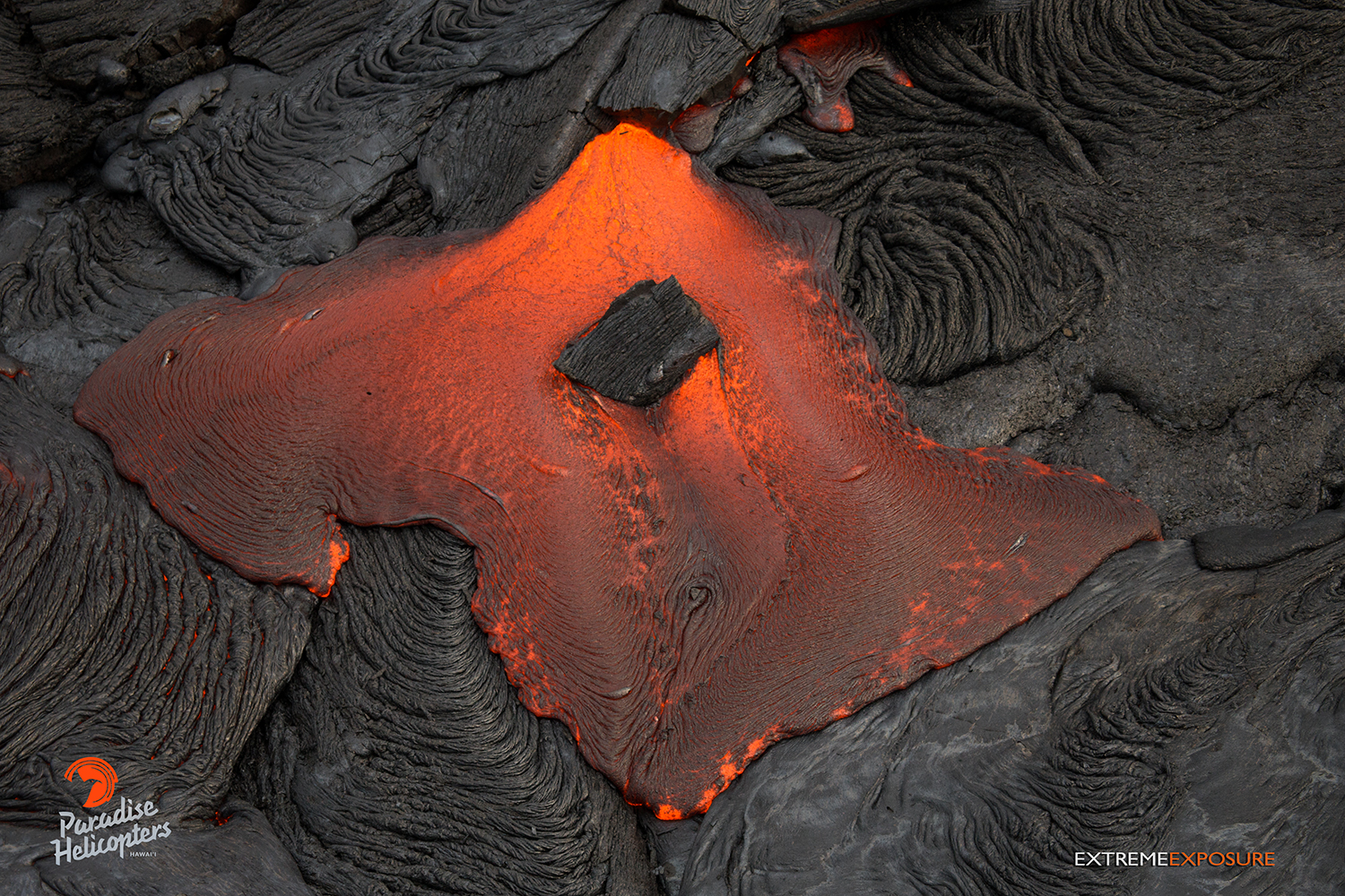
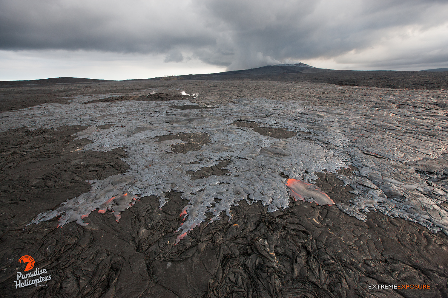
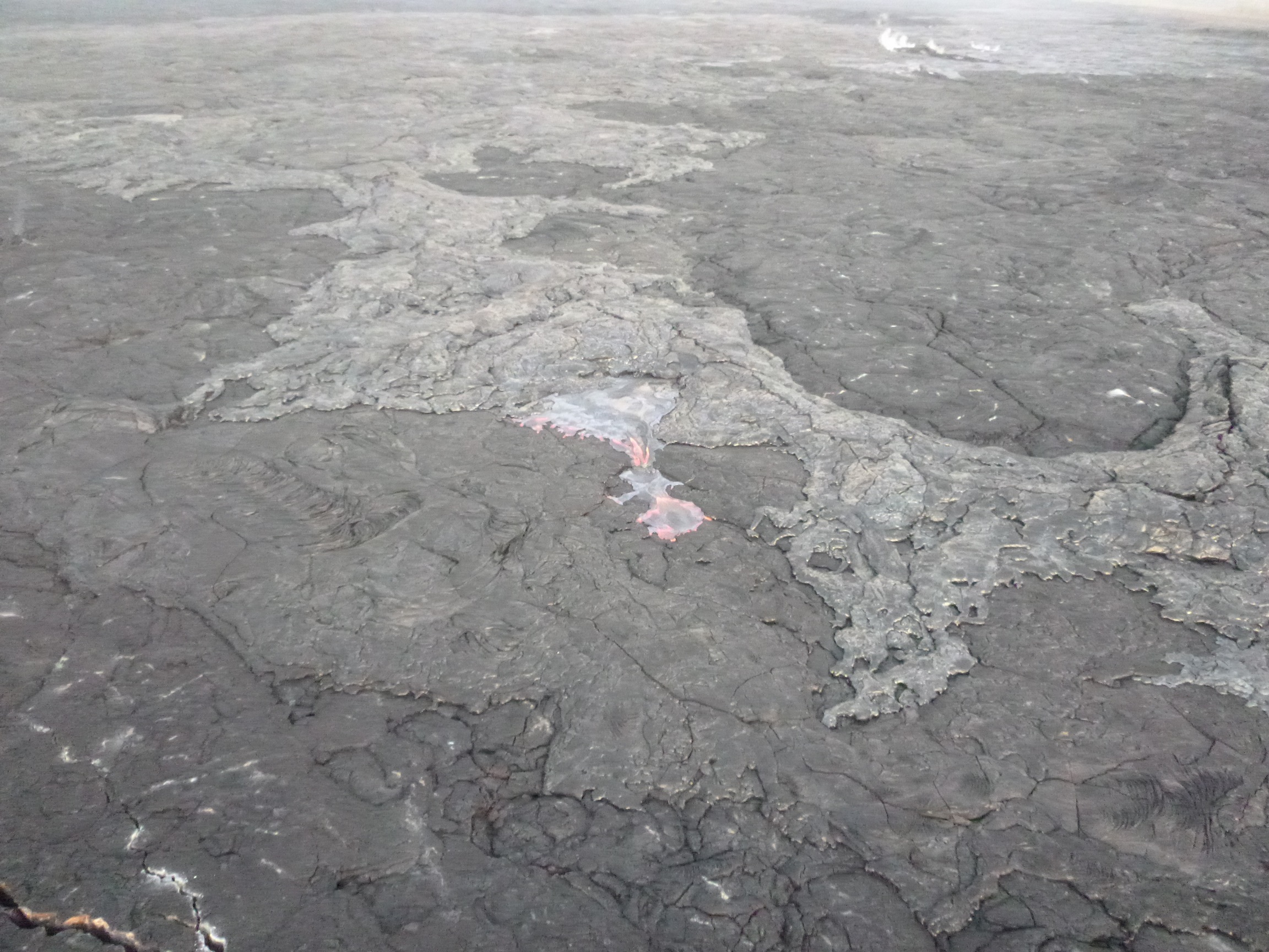
In this photo, taken March 16, pressure builds from within, fracturing the cooled crust of a fresh flow, releasing the fluid pahoehoe. Photo credit: Extreme Exposure Media/Paradise Helicopters.
In this photo, taken March 16, a section of cooled crust is forced upward as pressure builds from within. Photo credit: Extreme Exposure Media/Paradise Helicopters.
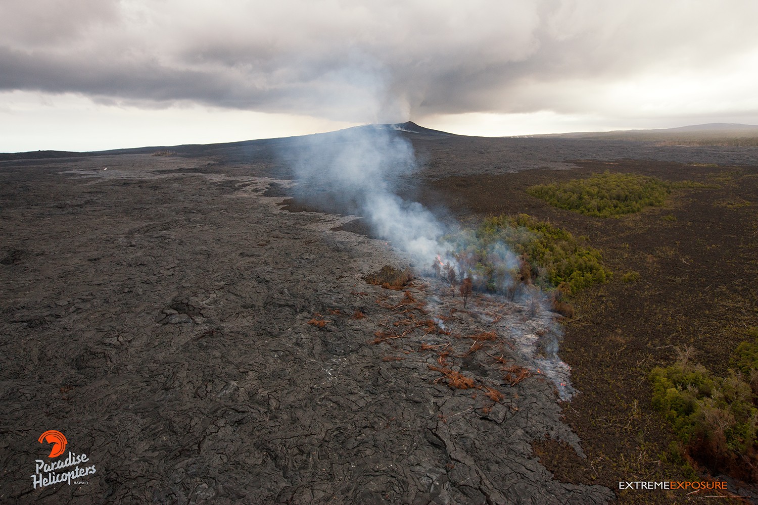
In this photo, taken March 16, a recent breakout from near the base of Pu’u Kahaualea is shown spread across the flow field. Numerous lobes of fresh activity can be seen. Photo credit: Extreme Exposure Media/Paradise Helicopters.
This photo, taken March 16, shows a recent breakout from near the base of Pu’u Kahaualea that has spread across the flow field and begun encroaching upon the bordering northern tree line. Photo credit: Extreme Exposure Media/Paradise Helicopters.
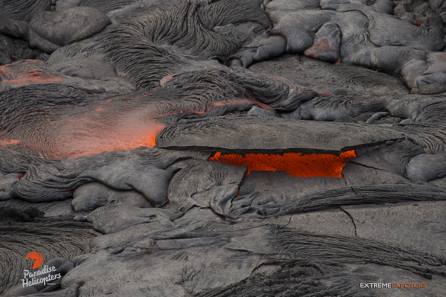
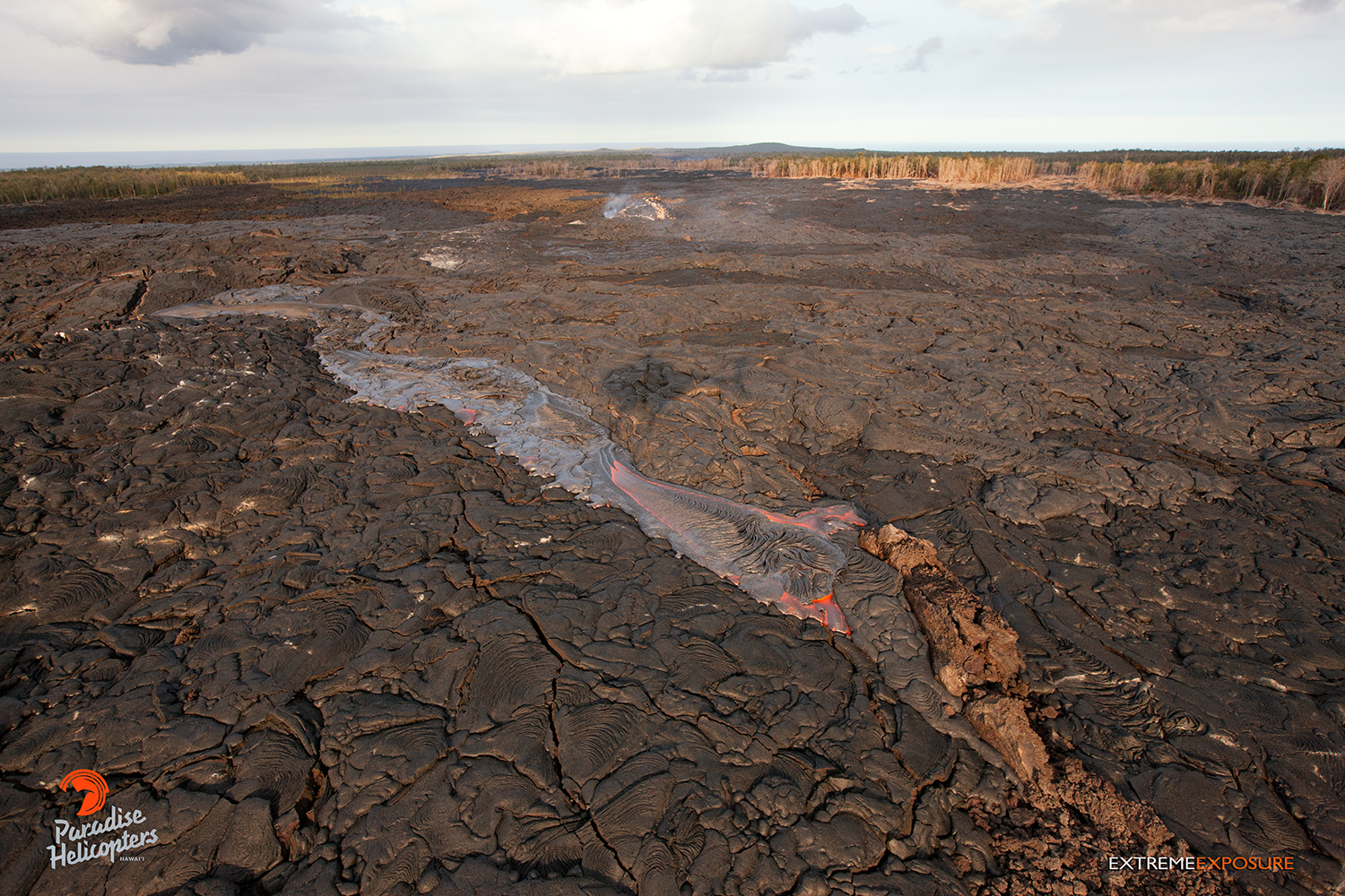
In this photo, taken March 16, a finger of lava pours from the tube approximately 4 to 5 miles downslope of Pu‘u ‘O‘o. Photo credit: Extreme Exposure Media/Paradise Helicopters.
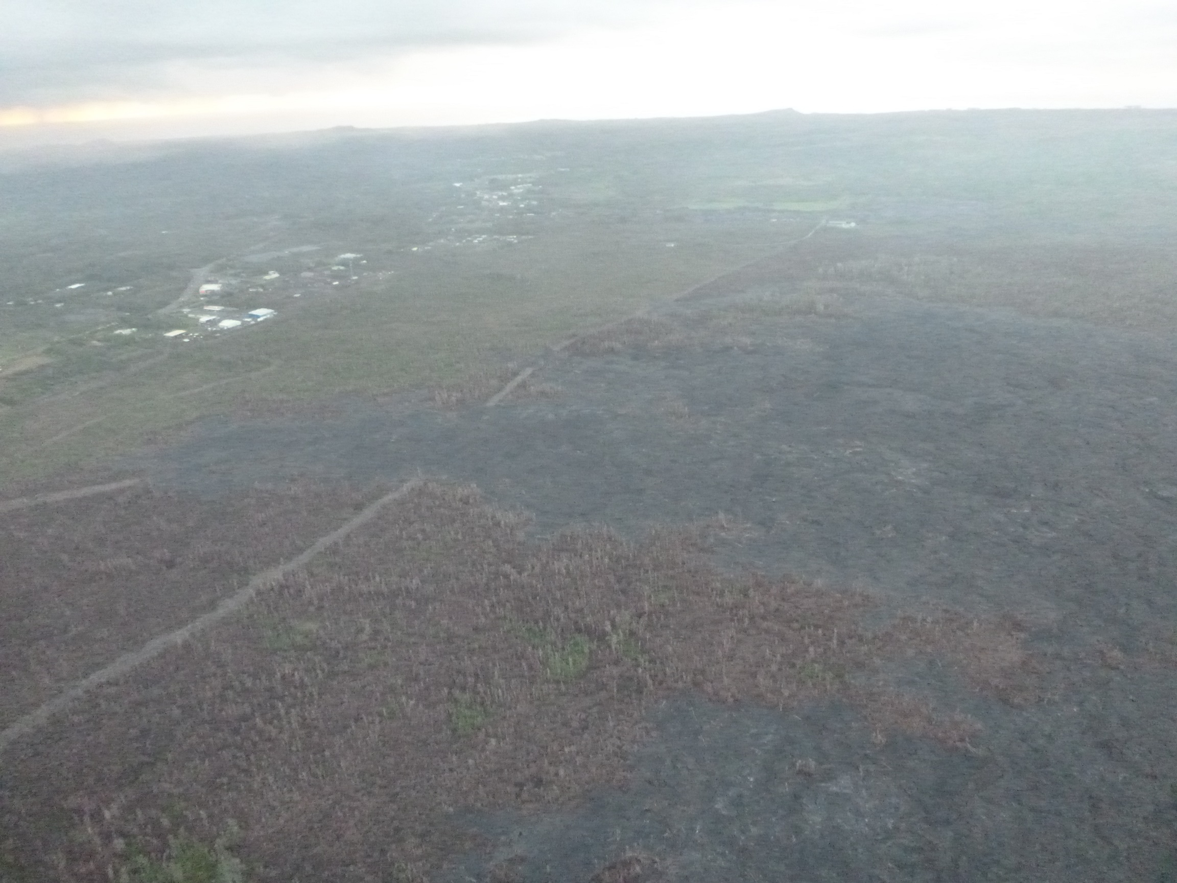
This photo, taken March 17, shows a view from the north, looking towards Hwy 130 and Pahoa Marketplace. Hawai’i County Civil Defense photo.
This photo, taken March 17, shows a view of an upslope surface breakout. Hawai’i County Civil Defense photo.
This comments section is a public community forum for the purpose of free expression. Although Big Island Now encourages respectful communication only, some content may be considered offensive. Please view at your own discretion. View Comments