Little has changed with the June 27 lava flow, according to Hawai’i County Civil Defense’s most recent overflight assessment, as no changes in any of the downslope areas of the flow continue to be reported.
Although activity remains at a minimum at the major flow areas furthest downslope, activity continues along both the north and south margins of the flow, in addition to the surface of the flow pad. Civil Defense says that this activity continues to provide evidence that lava is being supplied through the tube system from the source and is traveling downslope.
The north margin breakout that was briefly active has shown no advancement since Monday morning and continues to remain about 1 mile west of Highway 130.
At the current time, no flow activity is posing a threat to communities in the area. Civil Defense, along with Hawaiian Volcano Observatory, will continue to monitor activity and inform the public of any changes.
ARTICLE CONTINUES BELOW AD
ARTICLE CONTINUES BELOW AD
Light smoke conditions were reported Thursday morning as a light southwest wind was blowing smoke in a northeast direction. As usual, these conditions have the possibility of changing. Those who are sensitive or have respiratory issues are advised to take precautions and remain indoors.
No recent brush fire activity has been reported as fire conditions continue to be monitored closely.
+
SWIPE LEFT OR RIGHT
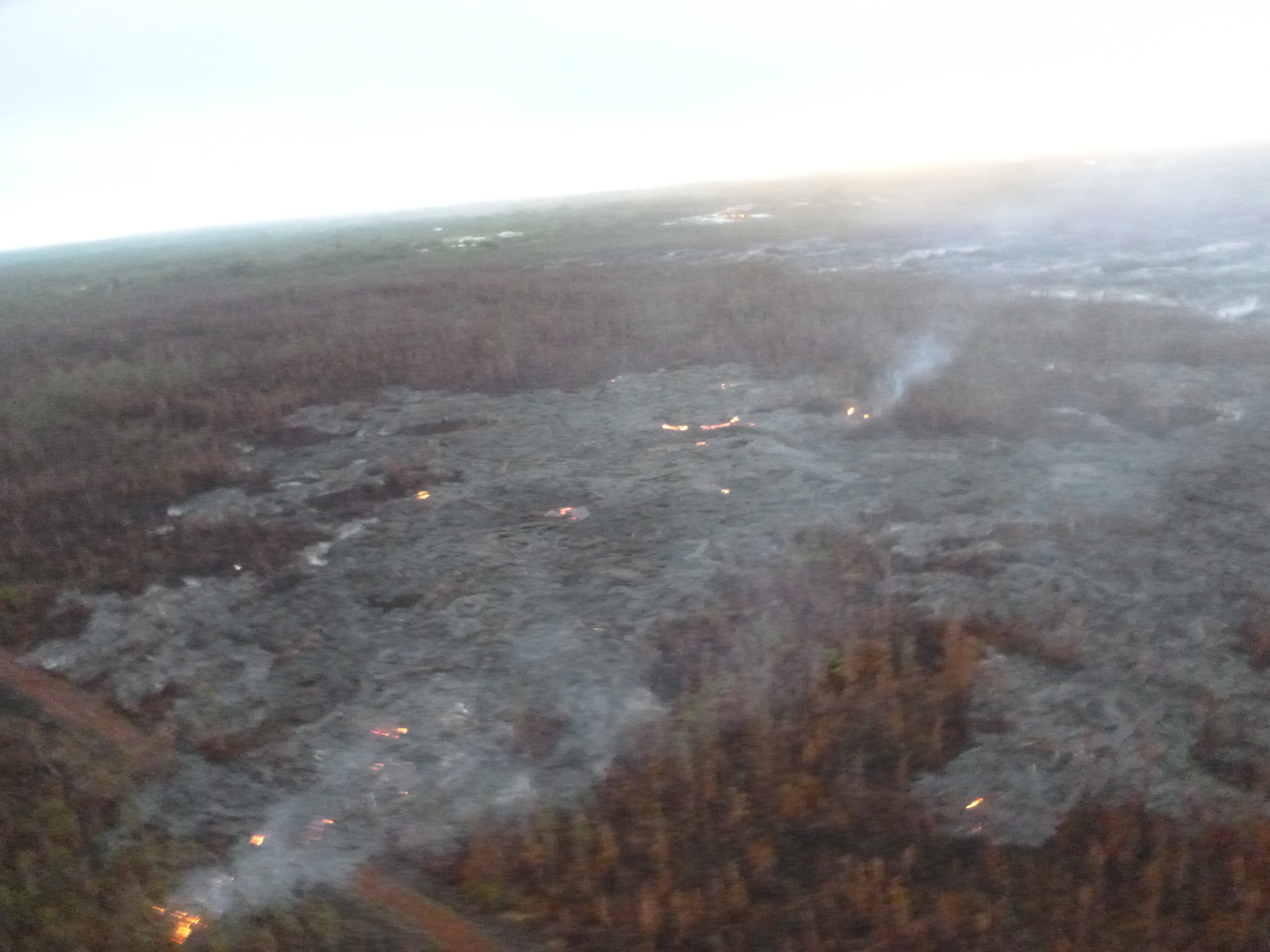
This photo, taken Feb. 26, shows the breakout along north margin, looking down slope towards Highway 130. Hawai’i County Civil Defense photo.
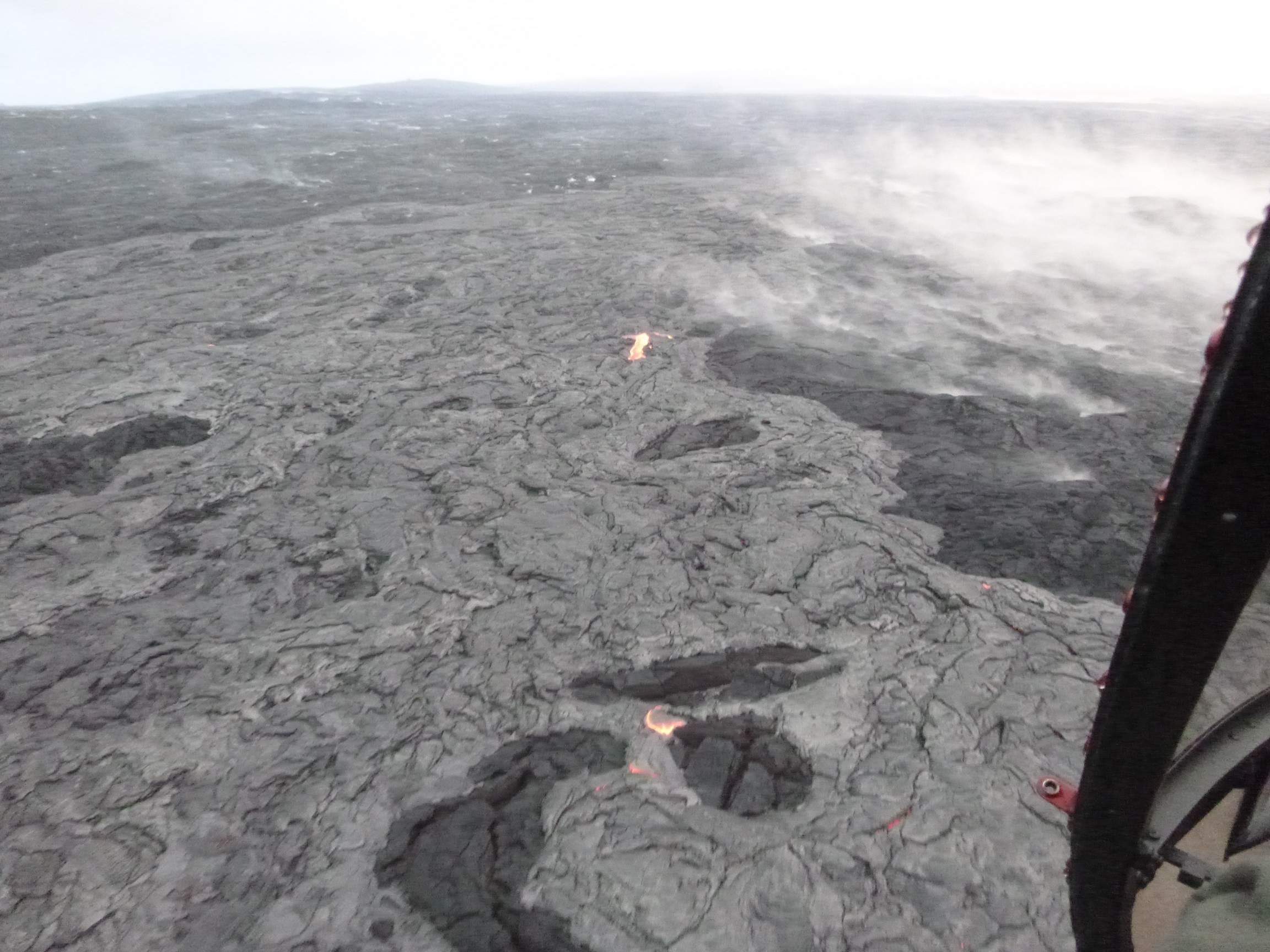
This photo, taken Feb. 26, shows an upslope breakout near the vent. Hawai’i County Civil Defense photo.
Hawai’i County Civil Defense lava flow map, as of Feb. 26 at 7 a.m. Civil Defense image.
Hawai’i County Civil Defense lava flow map, as of Feb. 26 at 7 a.m. Civil Defense image.
This comments section is a public community forum for the purpose of free expression. Although Big Island Now encourages respectful communication only, some content may be considered offensive. Please view at your own discretion. View Comments