No advancement has been noted for the June 27 lava flow breakout along the north margin of the flow, according to Hawai’i County Civil Defense following its Monday morning overflight assessment.
The flow is active and officials say that, although moving sluggishly, it is widening.
Between Friday and Sunday morning, the flow had advanced a total of about 110 yards before stalling Monday. The leading edge of the recently advancing breakout is still about one mile west of Highway 130.
All other downslope areas of the flow continue to show no change. Continued surface breakouts and breakouts along the north and south margins of the flow, however, continue to show that lava is being supplied to the tube system from the source and making its way to downslope areas.
ARTICLE CONTINUES BELOW AD
ARTICLE CONTINUES BELOW AD
None of the lava activity is posing an immediate threat to communities in the area. Civil Defense, along with Hawaiian Volcano Observatory, will continue to monitor conditions and inform the public of any changes.
Light smoke conditions were reported Monday morning as a light north wind was blowing smoke in a southeast direction. As usual, these conditions have the possibility of increasing. Officials advise those who have a prior history of respiratory issues or are sensitive to take necessary precautions.
+
SWIPE LEFT OR RIGHT
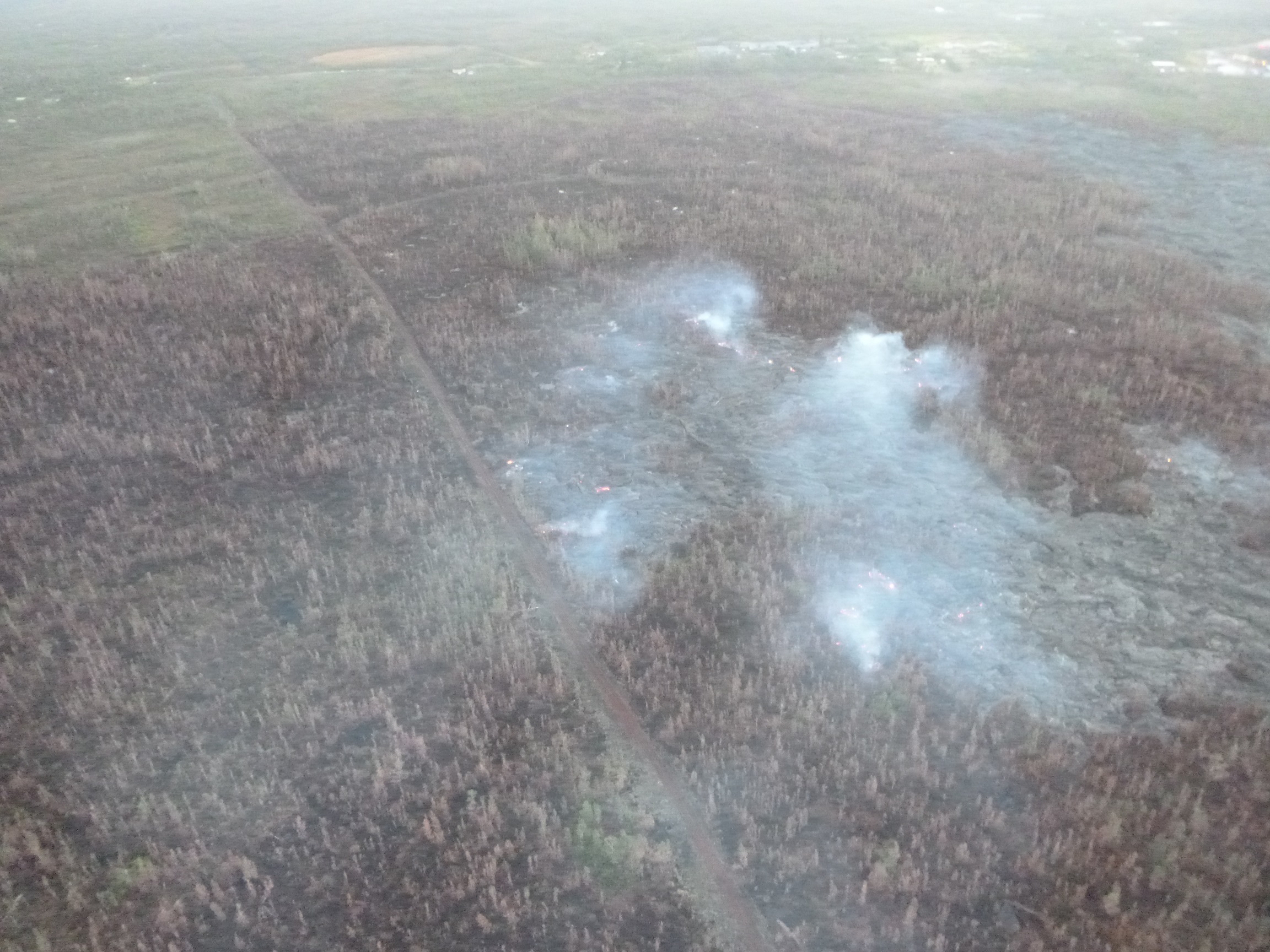
Hawai’i County Civil Defense image, taken Feb. 23, looking down slope towards Highway 130. Civil Defense photo.
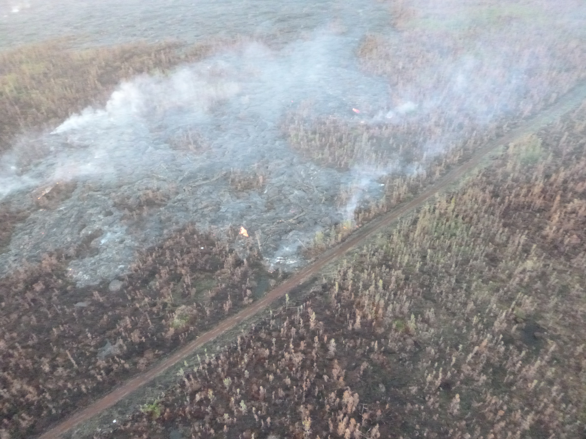
Hawai’i County Civil Defense image, taken Feb. 23, of a surface breakout along the north margin near dirt road/fire break. Civil Defense photo.
Hawai’i County Civil Defense lava flow map, as of Feb. 23 at 7 a.m. Civil Defense image.
Hawai’i County Civil Defense lava flow map, as of Feb. 23 at 7 a.m. Civil Defense image.
This comments section is a public community forum for the purpose of free expression. Although Big Island Now encourages respectful communication only, some content may be considered offensive. Please view at your own discretion. View Comments