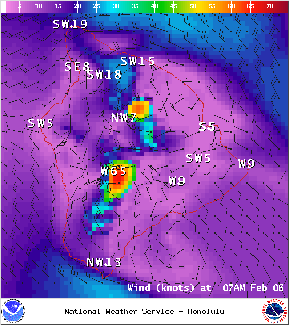
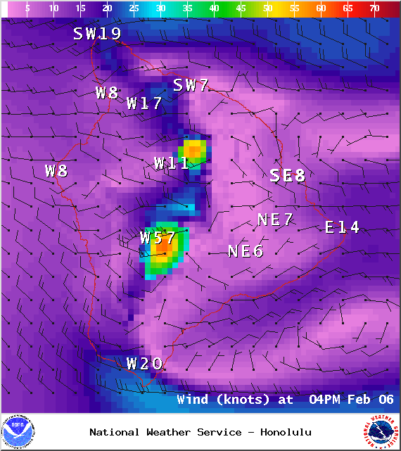
A Small Craft Advisory is posted for windward and southeast Big Island waters along with the Alenuihaha channel through 6:00 p.m. Friday for southwest winds up to 25 knots and rough seas up to 12 feet. Inexperienced mariners should avoid navigating in these conditions.
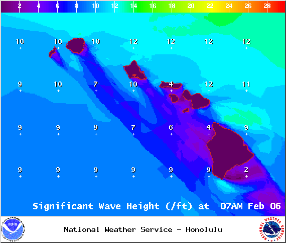
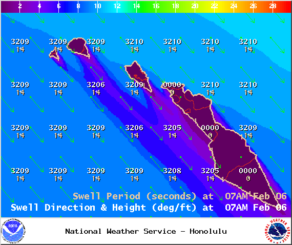
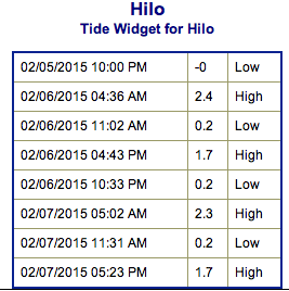
**Click directly on the images below to make them larger. Charts include: Big Island projected winds, tides, swell direction & period and expected wave heights.**
+
SWIPE LEFT OR RIGHT
ARTICLE CONTINUES BELOW AD
ARTICLE CONTINUES BELOW AD
Big Island Surf Forecast
Hilo side: Surf heights are expected head high to well overhead. The best breaks open to the swell could see double overhead surf on the sets.
ARTICLE CONTINUES BELOW AD
Kona side: Surf heights are forecasted to be shoulder to head high. Possibly overhead on the sets.
South: Southerly spots open to the west-northwest wrap could get waist to head high waves.
Our current swell is building out of the west-northwest. This swell is expected to show for both the Kona and Hilo sides. However, the surf is expected to be messy and disorganized. The peak is expected to take place late Friday with a secondary peak Sunday morning.
ARTICLE CONTINUES BELOW AD
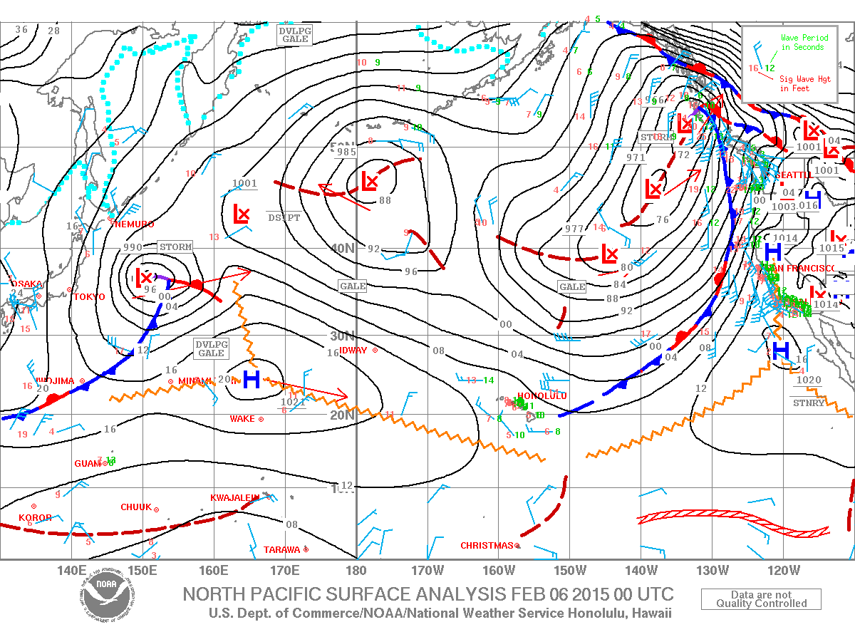
A larger west-northwest to northwest swell is expected early next week pending development of the storm.
Nothing to get excited about out of the SPAC. Late next week we could possibly see some fun waves from a storm expected to develop near New Zealand.
Keep in mind, surf heights are measured on the face of the wave from trough to crest. Heights vary from beach to beach, and at the same beach, from break to break.
This comments section is a public community forum for the purpose of free expression. Although Big Island Now encourages respectful communication only, some content may be considered offensive. Please view at your own discretion. View Comments


 Big Island Surf Forecast
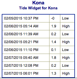 A larger west-northwest to northwest swell is expected early next week pending development of the storm.