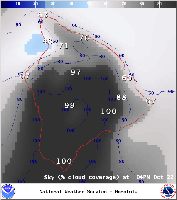
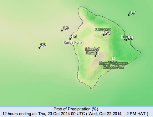
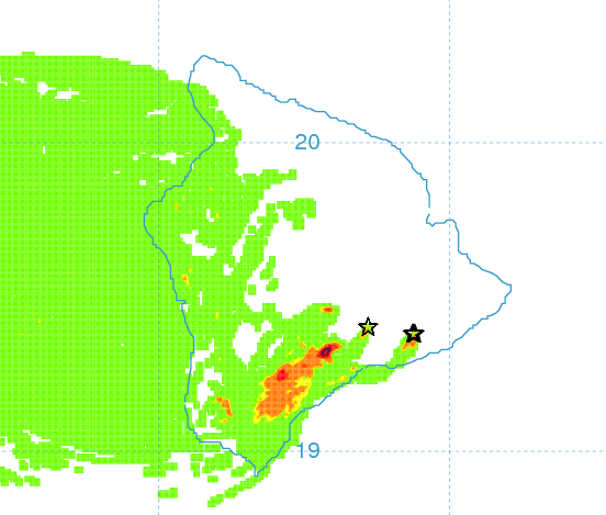
**A breakdown of expected conditions specific to the Big Island is presented below in graphical form. All graphics are provided by the National Weather Service in Honolulu.**
Alerts
There are no alerts posted for Hawai’i County at this time, however, yesterday we tied a record high temperature in Hilo. We hit 88° on the thermometer, which ties the old record set in 1992. This is a 6° departure from normal.
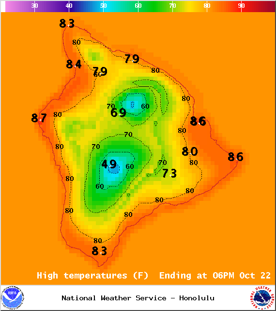
Map of expected high temperatures for Wednesday, October 22, 2014 / Image: NOAA / NWS
Today
We expect partly to mostly cloudy skies today with scattered windward and mauka showers. Showers increased overnight due to moisture from an old frontal boundary that pushed into windward spots, still we expect less than 1/4″ of rain to accumulate today. For the leeward side, mostly sunny skies are in the forecast for the morning then cloud cover is expected to build in the afternoon, possibly prompting pockets of showers. Hazy skies are again in the forecast, especially in the afternoon. High temperatures should fall in the range of 83° to 88° with cooler temperatures at higher elevations. Light and variable winds up to 15 mph are expected but will remain stronger along the Hamakua coast and South Point. Leeward areas will experience a sea breeze in the afternoon prompted by daytime heating.
Sunset tonight at 5:52 p.m.
ARTICLE CONTINUES BELOW AD
ARTICLE CONTINUES BELOW AD
Sunrise tomorrow at 6:17 a.m.
UV index at 9 (“very high” exposure level)
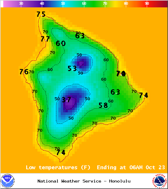
Map of expected overnight low temperatures for Wednesday, October 22, 2014 / Image: NOAA / NWS
Tonight
Mostly clear skies for the windward side this evening. Around midnight, cloud cover is expected to roll in. Scattered showers could accompany these clouds overnight. For leeward spots, the opposite forecast is expected with cloudy skies and scattered showers initially and skies clearing overnight. Low temperatures should fall in the range of 72° to 77° and winds are expected out of the east at around 15 mph. Looking Ahead
It’s going to be muggy in the short term but some relief is in sight. A high pressure system, which generates our trade winds, is expected to build on Thursday. As the high builds, trade winds will pick up in strength as well. The trades may be short-lived with pressure gradients slacking over the weekend and into early next week.
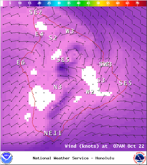
Expected wind conditions at 7am for Wednesday, October 22, 2014 / Image: NOAA / NWS
ARTICLE CONTINUES BELOW AD
Surf and Seas
Our current north swell (345-360°) is fading and mixing with a shorter-period northwest swell. We expect surf heights in the waist to shoulder high range. Our best exposures may get some pluses on the sets. Another north-northwest (320-360°) swell is on its heels, expected to begin building by late Thursday.
A south-southwest (200-190°) swell is moving in, offering knee to possibly chest high waves at our best exposed shores. This swell is expected to peak tomorrow and Thursday, then the south goes quite for a few days. Gales well southeast of New Zealand could bring larger surf by the middle of next week.
Expected wind conditions at 4pm for Wednesday, October 22, 2014 / Image: NOAA / NWS
If Ana continues on its current forecast track, its remnants are expected to merge with a storm to our north. If that happens we may see some swells generated.
Keep in mind, surf heights are measured on the face of the wave from trough to crest. Heights vary from beach to beach, and at the same beach, from break to break. Almanac for Hilo Airport
This comments section is a public community forum for the purpose of free expression. Although Big Island Now encourages respectful communication only, some content may be considered offensive. Please view at your own discretion. View Comments