Malika Dudley’s Daily Weather Forecast (10/16/14)
Today
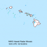
We expect stable and rather dry conditions with light trade winds through the day today. Partly to mostly cloudy skies for the windward side are expected as high clouds continue to streak overhead. The Kona side will see morning sunshine, hazy skies, and the usual afternoon sea breeze convection with building clouds and isolated showers. As the land breezes kick in at night, those clouds will clear out. Highs range from 82 to 87 degrees with northeast winds at 15 mph.
Ana
Starting Friday, there is quite a bit of uncertainty in the forecast. It’s highly dependent on where Ana ends up tracking and at what intensity. With the current forecast track, tropical storm conditions are possible on the Big Island starting Friday and a Tropical Storm Watch is posted for Hawai’i County. A Flash Flood Watch is also posted for the Big Island from Friday at noon through Sunday at 6 p.m. with rainfall totals of 10 to 15 inches, locally up to 20 inches along southeast facing slopes beginning Friday afternoon. Frequent showers, thunderstorms, heavy rain and winds from 25 to 40 mph, gusting to 60 mph are possible Friday and Saturday, should the track remain unchanged. I’ll keep an eye on it and bring you the latest.
Surf
Our current SSW will slowly fade through Friday. Today, the best southern exposures
might see wave heights of waist to chest high. As Ana continues to approach large swells, it will likely affect our southeastern coast starting later today. Seas of 20 to 30 feet are expected late Friday along the Puna & Kau coastlines during the closest approach, peaking Friday night. On the other side of the island, our mix of north shore swells should bring waist to head high surf for best exposures Thursday and Friday.
Other Areas of Interest
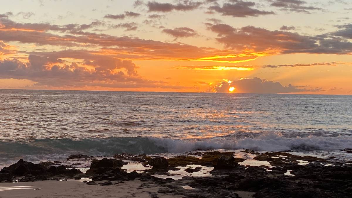
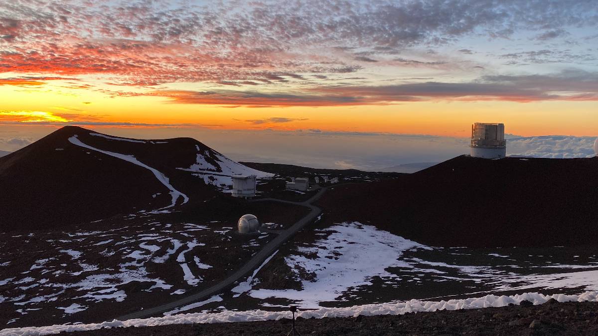
Sunset tonight at 5:57pm
Sunrise tomorrow at 6:15am
UV index at 9 (“very high” exposure level)


